9,8 km | 11,1 km-effort
canal Courrieres
MC Chevalier
Benutzer
Länge
6,1 km
Maximale Höhe
32 m
Positive Höhendifferenz
33 m
Km-Effort
6,5 km
Min. Höhe
19 m
Negative Höhendifferenz
33 m
Boucle
Ja
Erstellungsdatum :
2021-04-11 14:45:39.613
Letzte Änderung :
2021-04-13 11:42:40.585
1h29
Schwierigkeit : Medium
Kostenlosegpshiking-Anwendung
Über SityTrail
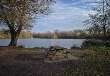
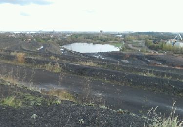
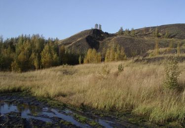
Tour Wandern von 6,1 km verfügbar auf Nordfrankreich, Pas-de-Calais, Courrières. Diese Tour wird von MC Chevalier vorgeschlagen.
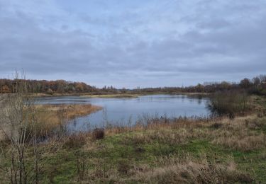
Ort
Land:
France
Region :
Nordfrankreich
Abteilung/Provinz :
Pas-de-Calais
Kommune :
Courrières
Standort:
Unknown
Gehen Sie:(Dec)
Gehen Sie:(UTM)
495937 ; 5589731 (31U) N.
Kommentare
Touren in der Umgebung
oignies et le parc des hautois
Zu Fuß
Medium
(1)
Oignies,
Nordfrankreich,
Pas-de-Calais,
France
Unbekannt
Ja
terrils - fouquieres les lens
Laufen
Einfach
Courrières,
Nordfrankreich,
Pas-de-Calais,
France
15,9 km | 18,7 km-effort
2h 9min
Ja
Parc des Hautois - Oignies
Wandern
Medium
(1)
Oignies,
Nordfrankreich,
Pas-de-Calais,
France
11,9 km | 13,4 km-effort
3h 0min
Ja
Oignies
Wandern
Schwierig
Oignies,
Nordfrankreich,
Pas-de-Calais,
France
11,2 km | 12,8 km-effort
2h 34min
Ja
Rando de la St Valentin, Annay sous Lens
Mountainbike
Medium
Annay,
Nordfrankreich,
Pas-de-Calais,
France
34 km | 37 km-effort
2h 15min
Ja
Carvin Libercourt
Wandern
Medium
Carvin,
Nordfrankreich,
Pas-de-Calais,
France
14,2 km | 15,3 km-effort
2h 47min
Ja
Carvin Camphin en Carembeaux
Wandern
Medium
Carvin,
Nordfrankreich,
Pas-de-Calais,
France
11,1 km | 11,6 km-effort
2h 15min
Ja
Carvin Oignies la gare d'eau Libercourt le terril du Telepherique
Wandern
Medium
Carvin,
Nordfrankreich,
Pas-de-Calais,
France
15 km | 16,5 km-effort
2h 49min
Ja
Oignies
Wandern
Medium
Oignies,
Nordfrankreich,
Pas-de-Calais,
France
10,8 km | 12,2 km-effort
2h 30min
Ja