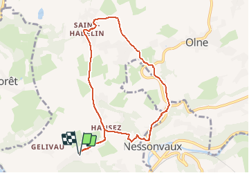

22 km | 29 km-effort

Benutzer


Kostenlosegpshiking-Anwendung
 SityTrail
IGN / Geografische Institute
SityTrail World
Die Welt öffnet sich für Sie
Tour Wandern von 8 km verfügbar auf Wallonien, Lüttich, Olne. Diese Tour wird von amyrose vorgeschlagen.
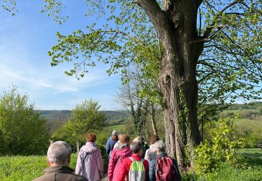
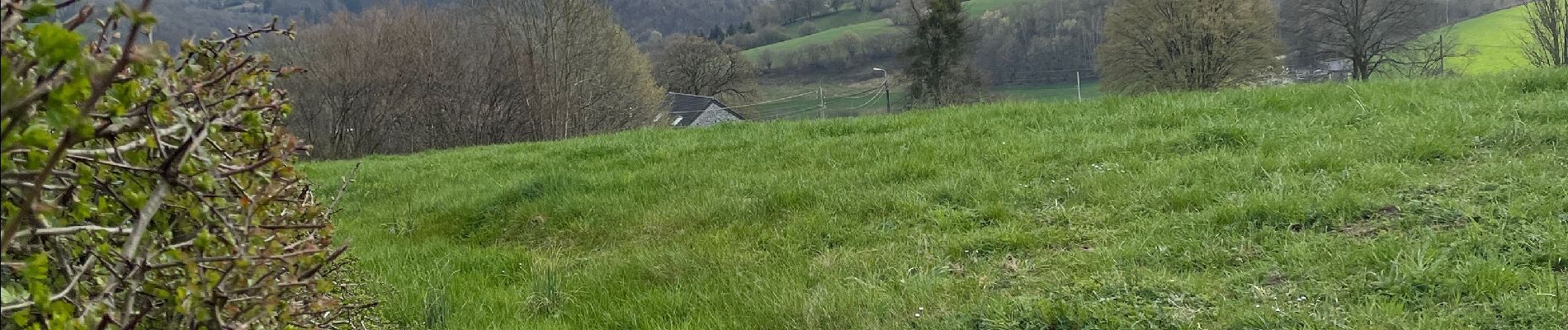
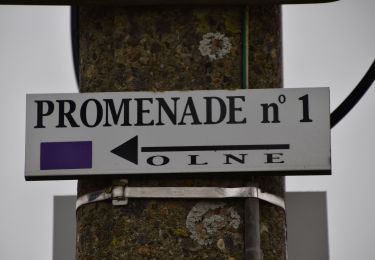
aller jusque la croix Renard descendre à saint Hadelin aller au Rafhay descendre à Vaux par chez Notteborn aller à Nessonvaux remonter par les prés de Straet


Wandern

Wandern

Wandern

Wandern

Wandern

Wandern

Wandern
Wandern