


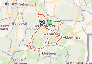

10,1 km | 13,5 km-effort


Benutzer


Kostenlosegpshiking-Anwendung
 SityTrail
IGN / Geografische Institute
SityTrail World
Die Welt öffnet sich für Sie
Tour Wandern von 16,9 km verfügbar auf Burgund und Freigrafschaft, Doubs, Hérimoncourt. Diese Tour wird von klopbill vorgeschlagen.
Départ Hérimoncourt place pierre Peugeot entre Temple et l'Eglise sur la dép 34 Balisage : Randonnée Hérimoncourtoise ( rectangle et triangle jaune et bleu )
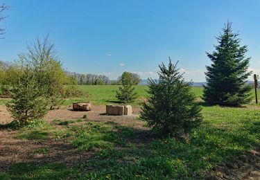
Wandern
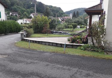
Wandern
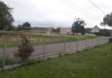
Wandern

Wandern

Wandern
Wandern
Wandern
Wandern
Mountainbike