


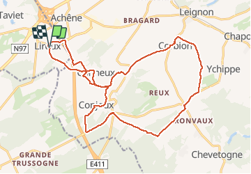

24 km | 31 km-effort

Benutzer


Kostenlosegpshiking-Anwendung
 SityTrail
IGN / Geografische Institute
SityTrail World
Die Welt öffnet sich für Sie
Tour Wandern von 20 km verfügbar auf Wallonien, Namur, Dinant. Diese Tour wird von JEANMINNE vorgeschlagen.
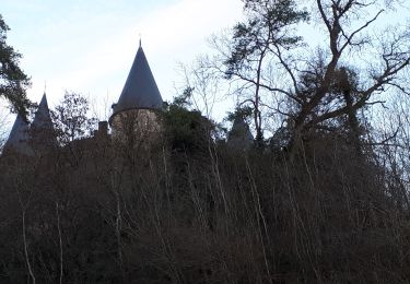
Liroux-Lausmanne-Ferme de Grandmont-Conjoux-Bois de Raun-Dorea-Baraque de Conjoux-Ferme La Grijoule-La Brodde-Les Maquettes-Tilleul de Ronvaux-Fond de Reux-Corbion-Pachis du Bocq-Chateau St-Martin-Conneux-La Citadelle-La grosse Bole-Liroux.


Wandern

Wandern

Wandern

Wandern

Mountainbike
Fahrrad
Wandern
Wandern
Wandern