


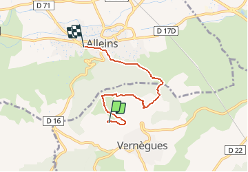

7,1 km | 9 km-effort


Benutzer


Kostenlosegpshiking-Anwendung
 SityTrail
IGN / Geografische Institute
SityTrail World
Die Welt öffnet sich für Sie
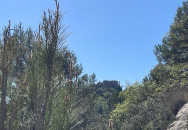
Tour Wandern von 5,1 km verfügbar auf Provence-Alpes-Côte d'Azur, Bouches-du-Rhône, Vernègues. Diese Tour wird von Claude CHALMIN vorgeschlagen.
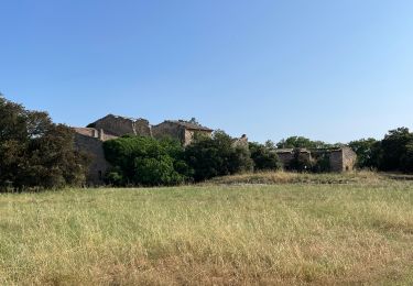
De la table d'orientation de Vernegues ...
au village d'Alleins par le chemin de St Séphorien
Wandern
Wandern
Wandern

Andere Aktivitäten

Wandern

Wandern

Mountainbike
Wandern
Wandern