


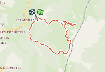

8,7 km | 17,3 km-effort

Benutzer GUIDE


Kostenlosegpshiking-Anwendung
 SityTrail
IGN / Geografische Institute
SityTrail World
Die Welt öffnet sich für Sie
Tour Skiwanderen von 10,2 km verfügbar auf Auvergne-Rhone-Alpen, Isère, Villard-de-Lans. Diese Tour wird von nadd73 vorgeschlagen.
Départ de conversaria.
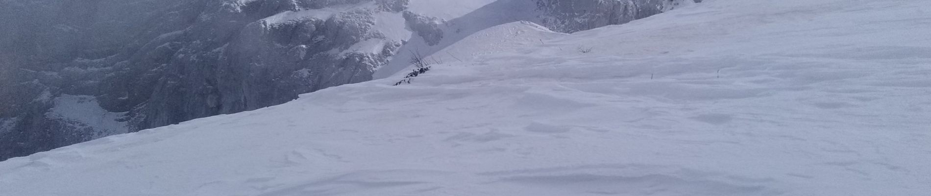
Nous n'avons pas fait le rocher de l'ours car bcp de vent et neige gelée.
En bas de la combe de Chaulange, bcp de cailloux et étroit.


Wandern

Schneeschuhwandern

Wandern

Wandern

Wandern

Wandern

Schneeschuhwandern

Mountainbike

Wandern