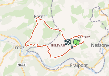

22 km | 29 km-effort

Benutzer


Kostenlosegpshiking-Anwendung
 SityTrail
IGN / Geografische Institute
SityTrail World
Die Welt öffnet sich für Sie
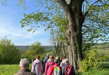
Tour Wandern von 7,2 km verfügbar auf Wallonien, Lüttich, Olne. Diese Tour wird von amyrose vorgeschlagen.
Hansez Gelivaux par la carrière monter au bois de Trooz par la falaise aller à forêt redescendre par les prsé et puis par les terrains de Straet


Wandern

Wandern

Wandern

Wandern

Wandern

Wandern

Wandern
Wandern