


12,8 km | 15,1 km-effort

Benutzer


Kostenlosegpshiking-Anwendung
 SityTrail
IGN / Geografische Institute
SityTrail World
Die Welt öffnet sich für Sie
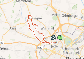
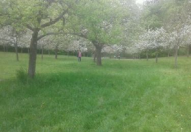
Tour Wandern von 22 km verfügbar auf Brüssel-Hauptstadt, Unbekannt, Jette. Diese Tour wird von naturon vorgeschlagen.
Boucle de ± 25 kms depuis Jette, basée sur la randonnée N°3 du topo-guide de "Randonnées en boucles à Bruxelles et dans sa périphérie"
(réalisé le 11/01/2021)


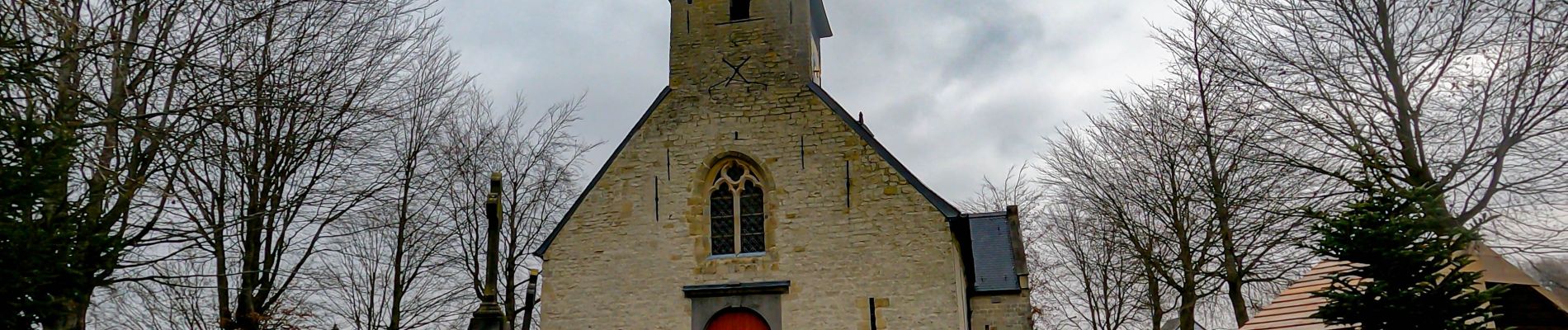
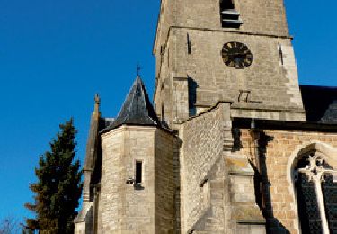
Wandern
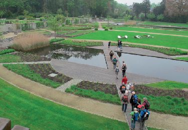
Wandern
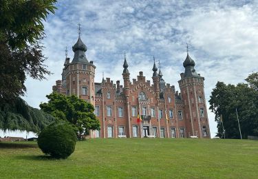
Wandern
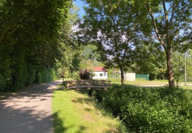
Wandern

Wandern
Wandern
Wandern
Wandern
Fahrrad