


16,1 km | 19,1 km-effort

Benutzer


Kostenlosegpshiking-Anwendung
 SityTrail
IGN / Geografische Institute
SityTrail World
Die Welt öffnet sich für Sie
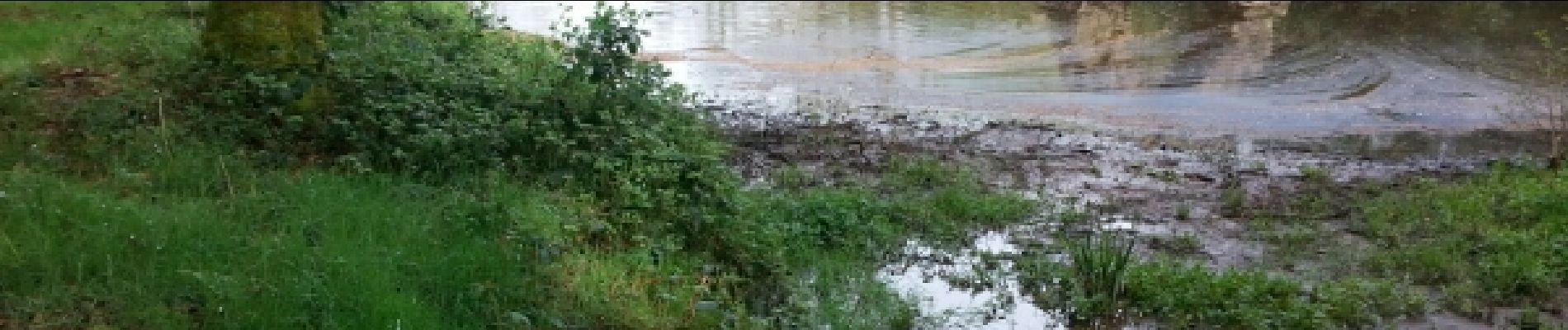
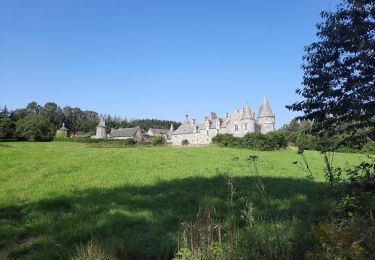
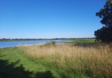
Tour Wandern von 32 km verfügbar auf Bretagne, Ille-et-Vilaine, Châtillon-en-Vendelais. Diese Tour wird von lagardienne vorgeschlagen.
Bientôt sur le jardindelolo.fr le récit de mon périple sur le GR 34, étape par étape avec commentaires et photos.


Wandern
Wandern
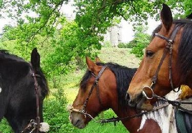
Pferd

Nordic Walking

Wandern
Wandern
Wandern
Zu Fuß
Wandern