


8,4 km | 9,8 km-effort

Benutzer


Kostenlosegpshiking-Anwendung
 SityTrail
IGN / Geografische Institute
SityTrail World
Die Welt öffnet sich für Sie
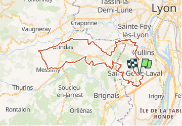
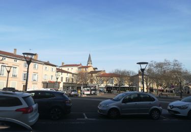
Tour Zu Fuß von 39 km verfügbar auf Auvergne-Rhone-Alpen, Métropole de Lyon, Saint-Genis-Laval. Diese Tour wird von jacques delaporte vorgeschlagen.
Les Collonges, Clos Rival, Lardillet, Les Hauts de Barolles, Beau Versant, Le Colombier, Le Caillou, Lanvesin, La côte de L'air, Le Guichardet, Les Ramières, Le Milon, Malataverne, Le Vincent, Le Mouchetier, Le Maupas, Le Guillerny, La Quinsonnière, Les Hôteaux, Le Grand but, Le Ferrand, Le Robert, Le Ronzère, Beaunant, La Bussiére, Les Recollets, Les Collonges - Fin de Parcours.

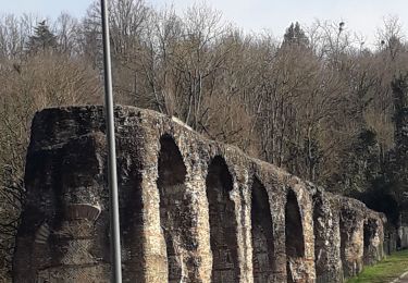
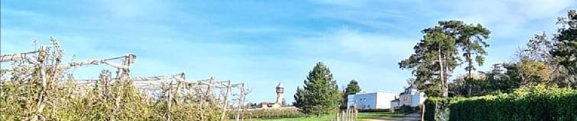
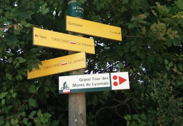
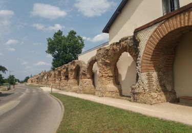
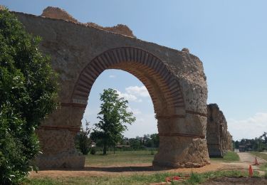
Wandern

Wandern
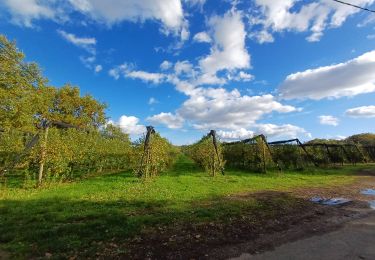
Wandern
Wandern
Wandern
Wandern
Wandern
Wandern
Wandern