


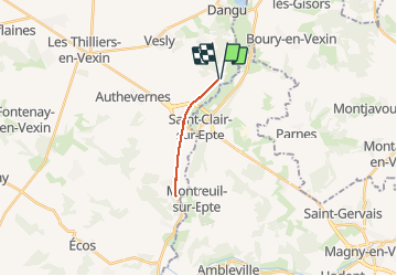


7,8 km | 9,5 km-effort

Benutzer


Kostenlosegpshiking-Anwendung
 SityTrail
IGN / Geografische Institute
SityTrail World
Die Welt öffnet sich für Sie
Tour Wandern von 12,4 km verfügbar auf Normandie, Eure, Guerny. Diese Tour wird von Marie-Claire-mcp vorgeschlagen.
Gisancourt à Berthenonville


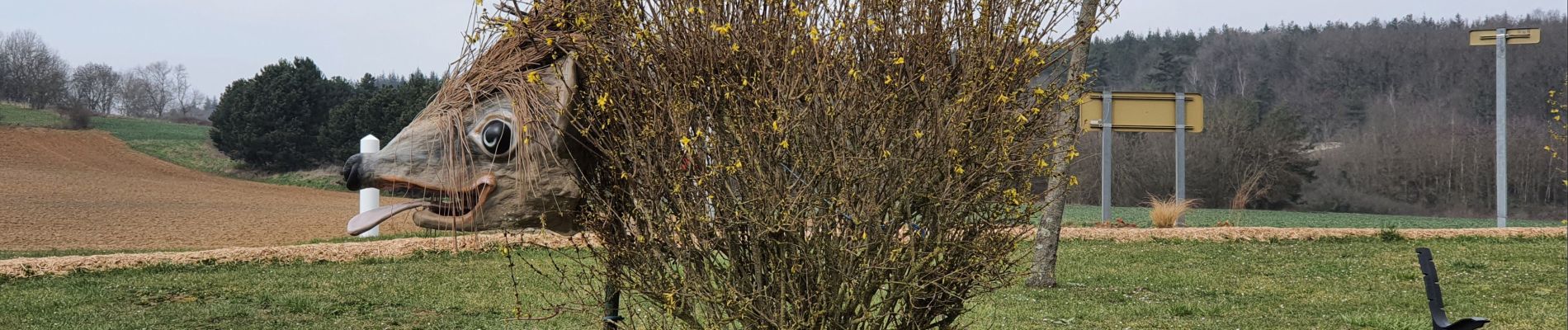
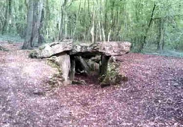
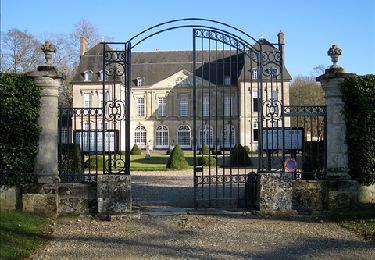
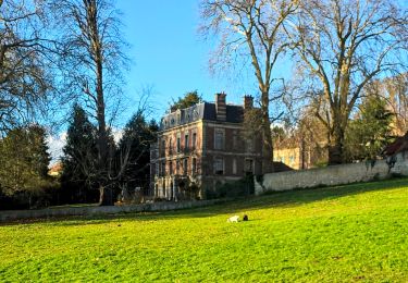
49 Fotos insgesamt. Klicken Sie auf ein Foto, um sie alle in der Galerie zu sehen.
Wandern

Wandern
Wandern

Wandern
Wandern

Wandern
Wandern

Nordic Walking
Nordic Walking