


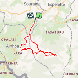


18,3 km | 29 km-effort


Benutzer


Kostenlosegpshiking-Anwendung
 SityTrail
IGN / Geografische Institute
SityTrail World
Die Welt öffnet sich für Sie
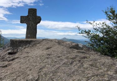
Tour Wandern von 13,5 km verfügbar auf Neu-Aquitanien, Pyrenäen-Atlantik, Souraïde. Diese Tour wird von DECHAMPD vorgeschlagen.
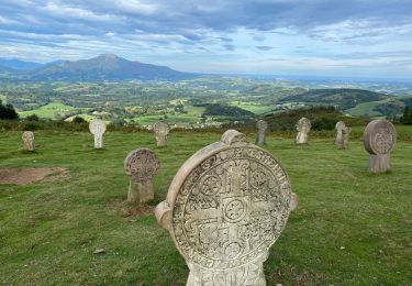
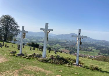
depuis le col dePINADIETA, Mendiondoa, la chapelle d'Arantze et le calvaire, le col des trois croix, le refuge Gainekoborda avec contour de l'Atzulegi, la face nord de l'Erebi par le GR10.

Wandern

Laufen

Wandern

Wandern
Wandern

Wandern
Wandern
Wandern
Wandern