


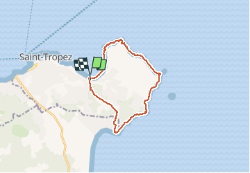

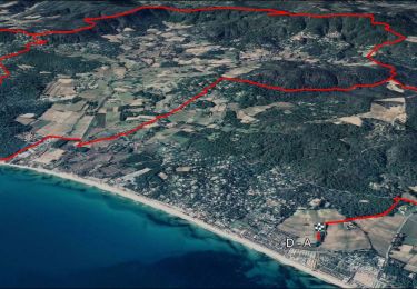
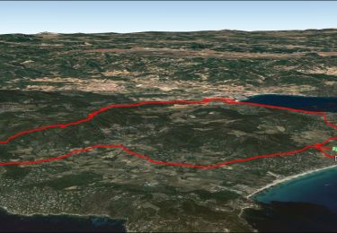
12,2 km | 14,7 km-effort

Benutzer


Kostenlosegpshiking-Anwendung
 SityTrail
IGN / Geografische Institute
SityTrail World
Die Welt öffnet sich für Sie
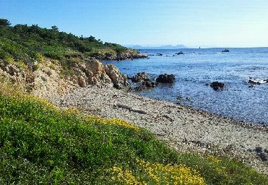
Tour Wandern von 12,1 km verfügbar auf Provence-Alpes-Côte d'Azur, Var, Saint-Tropez. Diese Tour wird von fhascoet vorgeschlagen.
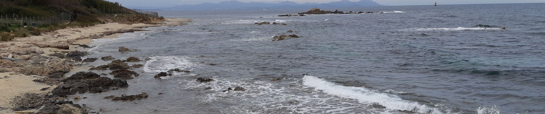
Belle randonnée. Maisons impressionnantes au Nord, sentier plus sauvage à l'Est. Retour sur la route au travers de belles propriétés


Wandern
Wandern
Wandern

Wandern

Wandern

Mountainbike
Mountainbike
Elektrofahrrad
Mountainbike