


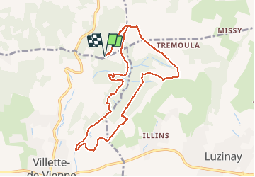

17,1 km | 23 km-effort

Benutzer


Kostenlosegpshiking-Anwendung
 SityTrail
IGN / Geografische Institute
SityTrail World
Die Welt öffnet sich für Sie
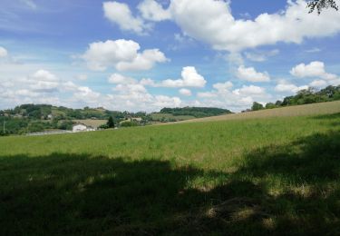
Tour Wandern von 9,9 km verfügbar auf Auvergne-Rhone-Alpen, Rhône, Marennes. Diese Tour wird von SyMA vorgeschlagen.
Parking apres col Bel Air
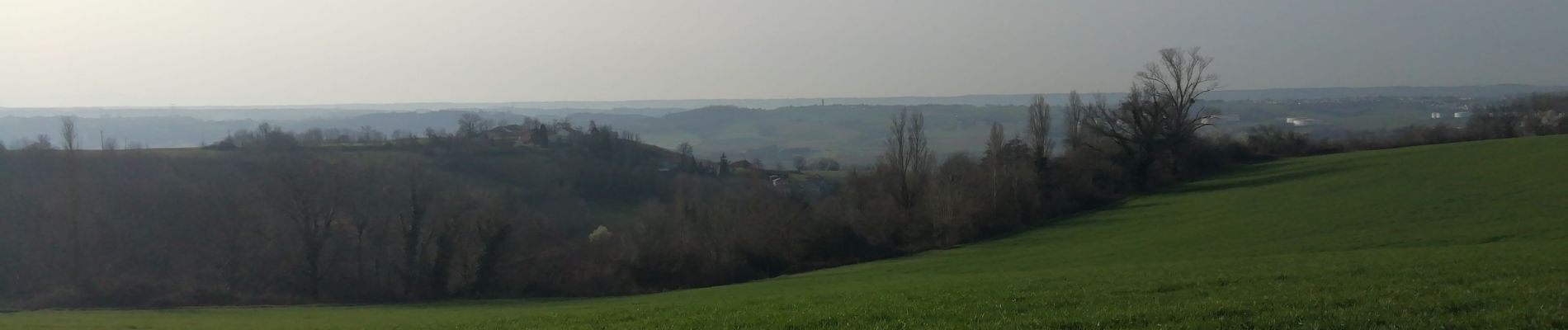
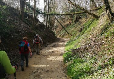
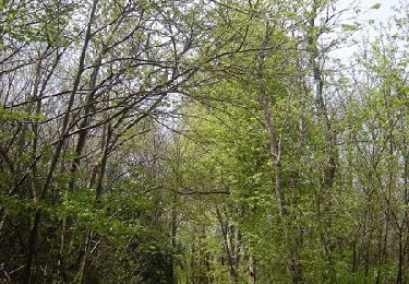
Tres belle ballade en forêt peu de goudron
Peut se faire dans les 2 sens

Wandern

Mountainbike
Wandern
Wandern
Mountainbike
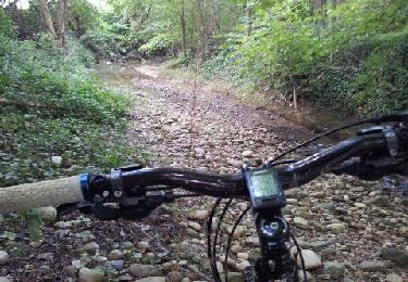
Mountainbike
Mountainbike
Andere Aktivitäten

Mountainbike