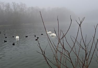
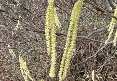
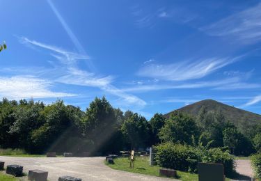
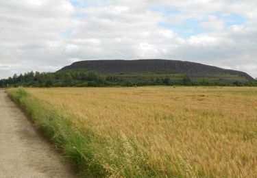
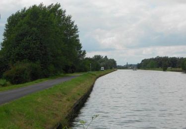
13,2 km | 14,2 km-effort
boucle de La Bassée de 13 km
eaea7charles
Benutzer
Länge
12,8 km
Maximale Höhe
29 m
Positive Höhendifferenz
66 m
Km-Effort
13,6 km
Min. Höhe
17 m
Negative Höhendifferenz
66 m
Boucle
Ja
Erstellungsdatum :
2021-03-02 08:43:22.41
Letzte Änderung :
2021-03-02 08:45:24.278
3h00
Schwierigkeit : Sehr leicht
Kostenlosegpshiking-Anwendung
Über SityTrail
Tour Zu Fuß von 12,8 km verfügbar auf Nordfrankreich, Nord, La Bassée. Diese Tour wird von eaea7charles vorgeschlagen.
Ort
Land:
France
Region :
Nordfrankreich
Abteilung/Provinz :
Nord
Kommune :
La Bassée
Standort:
Unknown
Gehen Sie:(Dec)
Gehen Sie:(UTM)
486163 ; 5597385 (31U) N.
Kommentare
Touren in der Umgebung
Les fontaines - Cuinchy
Wandern
Medium
(3)
Cuinchy,
Nordfrankreich,
Pas-de-Calais,
France
2h 40min
Ja
Wingles parc de la souchez
Hybrid-Bike
(1)
Wingles,
Nordfrankreich,
Pas-de-Calais,
France
34 km | 36 km-effort
1h 53min
Ja
La Basée 13 km
Wandern
Einfach
La Bassée,
Nordfrankreich,
Nord,
France
13 km | 13,7 km-effort
3h 26min
Ja
Wingles BÈthune vimy
Elektrofahrrad
Medium
Wingles,
Nordfrankreich,
Pas-de-Calais,
France
82 km | 92 km-effort
5h 32min
Ja
Tracé 064
Wandern
Medium
(1)
Cambrin,
Nordfrankreich,
Pas-de-Calais,
France
8,1 km | 8,5 km-effort
1h 56min
Ja
La gare - Haisnes
Wandern
Medium
Haisnes,
Nordfrankreich,
Pas-de-Calais,
France
10,1 km | 10,8 km-effort
2h 30min
Ja
Le chemin vert - Billy-Berclau
Wandern
Medium
Billy-Berclau,
Nordfrankreich,
Pas-de-Calais,
France
9,2 km | 9,7 km-effort
2h 15min
Ja
Les Briques - Auchy les Mines
Wandern
Einfach
Auchy-les-Mines,
Nordfrankreich,
Pas-de-Calais,
France
6,7 km | 7 km-effort
1h 40min
Ja
Le Canteleu - Violaines
Wandern
Medium
Violaines,
Nordfrankreich,
Pas-de-Calais,
France
14,7 km | 15,4 km-effort
3h 40min
Ja