


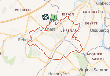


13,2 km | 15,9 km-effort

Benutzer


Kostenlosegpshiking-Anwendung
 SityTrail
IGN / Geografische Institute
SityTrail World
Die Welt öffnet sich für Sie
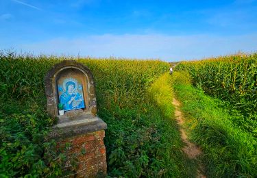
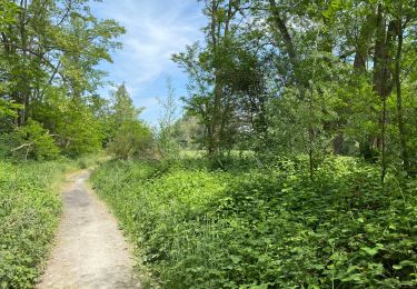
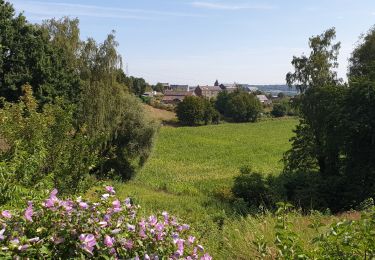
Tour Wandern von 16,5 km verfügbar auf Wallonien, Wallonisch-Brabant, Rebecq. Diese Tour wird von Patrick Michel vorgeschlagen.
Très chouette randonnée et avec le soleil qui plus est !


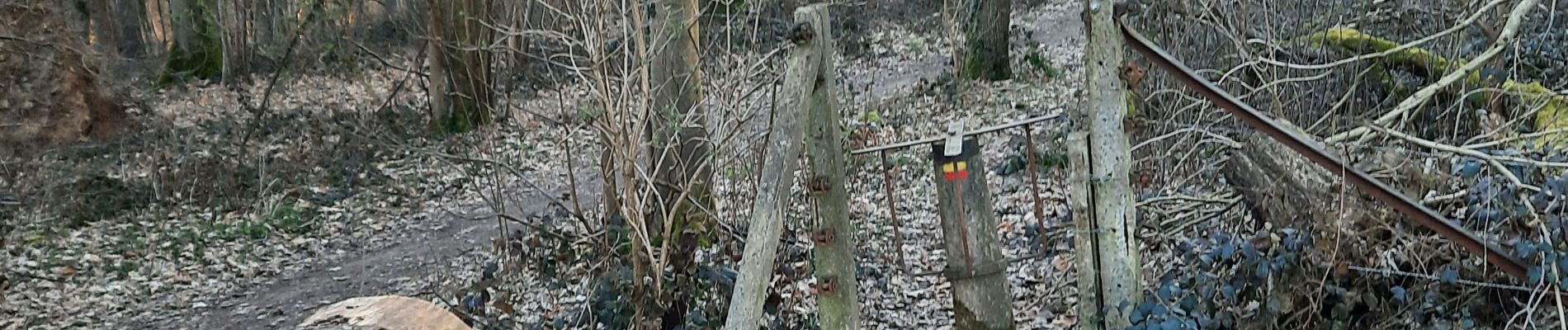
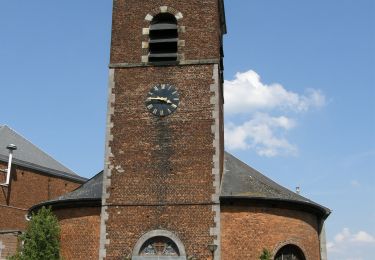
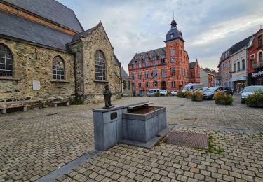
22 Fotos insgesamt. Klicken Sie auf ein Foto, um sie alle in der Galerie zu sehen.

Wandern

Wandern

Wandern

Wandern
Wandern
Wandern
Wandern
Wandern
Wandern