


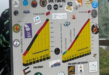
6,4 km | 9,2 km-effort


Benutzer


Kostenlosegpshiking-Anwendung
 SityTrail
IGN / Geografische Institute
SityTrail World
Die Welt öffnet sich für Sie
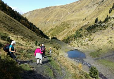
Tour Wandern von 13 km verfügbar auf Okzitanien, Hautes-Pyrénées, Grailhen. Diese Tour wird von dawed311 vorgeschlagen.
Petite randonnée familiale entre Vallée du Louron et vallée d'Aure, mais belle vue au sommet sur le lac de Loudenvielle et sur les vallées

Wandern

Wandern

Wandern

Wandern
Wandern
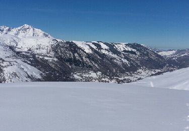
Schneeschuhwandern
Wandern
Wandern
Wandern