


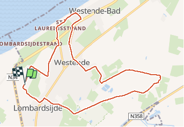


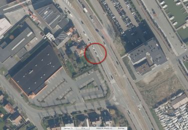
8,7 km | 9,2 km-effort


Benutzer


Kostenlosegpshiking-Anwendung
 SityTrail
IGN / Geografische Institute
SityTrail World
Die Welt öffnet sich für Sie
Tour Wandern von 10,7 km verfügbar auf Flandern, Westflandern, Middelkerke. Diese Tour wird von Alain Dufrasne vorgeschlagen.
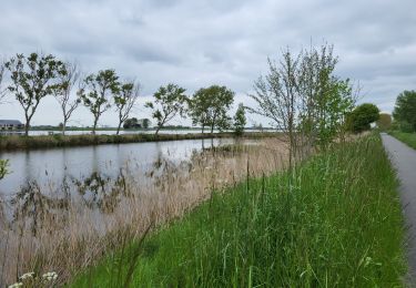
arrière pays à plat. magnifique paysage.


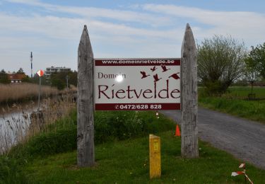
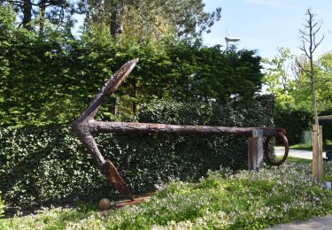
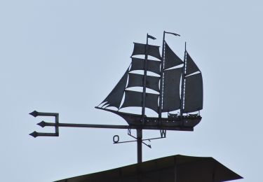
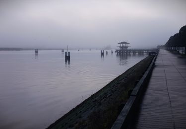
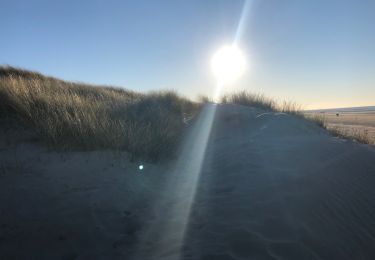
28 Fotos insgesamt. Klicken Sie auf ein Foto, um sie alle in der Galerie zu sehen.
Wandern
Wandern
Wandern
Wandern

Wandern
Wandern
Wandern
Wandern
Wandern