


86 km | 102 km-effort


Benutzer


Kostenlosegpshiking-Anwendung
 SityTrail
IGN / Geografische Institute
SityTrail World
Die Welt öffnet sich für Sie
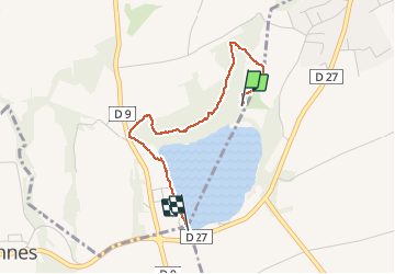
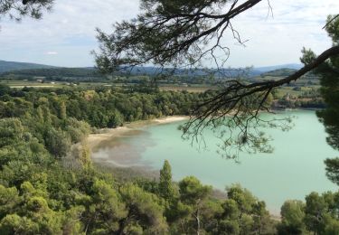
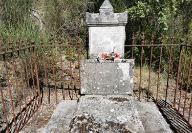
Tour Wandern von 2,7 km verfügbar auf Provence-Alpes-Côte d'Azur, Vaucluse, Cabrières-d'Aigues. Diese Tour wird von Claude-Alain vorgeschlagen.
Une promenade tranquille, dans la pinède et au dessus de la pinède, avec une vue magnifique sur l'étang de la Bonde.
Fahrrad
Wandern
Wandern
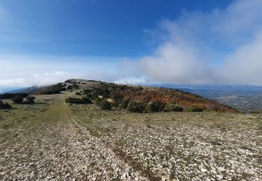
Wandern
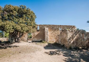
Wandern

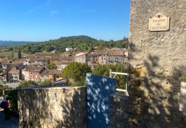
Wandern
Wandern
Wandern
Wandern