


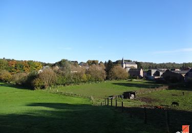
13,4 km | 17,5 km-effort

Benutzer


Kostenlosegpshiking-Anwendung
 SityTrail
IGN / Geografische Institute
SityTrail World
Die Welt öffnet sich für Sie
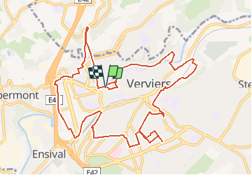
Tour Fahrrad von 12,6 km verfügbar auf Wallonien, Lüttich, Verviers. Diese Tour wird von remigueu vorgeschlagen.
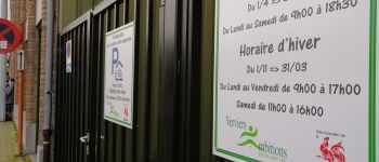
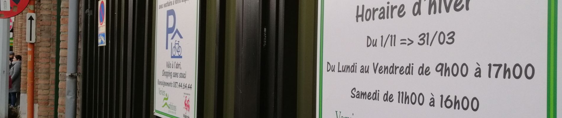
Le présent tracé a pour objectif de relier les différents parkings de délestage existant ou à venir à Verviers dans le but d'encourager l'intermodalité.


Wandern


Wandern

Wandern

Wandern

Wandern
Wandern
Wandern
Wandern