


17,7 km | 23 km-effort


Benutzer


Kostenlosegpshiking-Anwendung
 SityTrail
IGN / Geografische Institute
SityTrail World
Die Welt öffnet sich für Sie
Tour Wandern von 11,2 km verfügbar auf Auvergne-Rhone-Alpen, Haute-Loire, Montregard. Diese Tour wird von phcol vorgeschlagen.
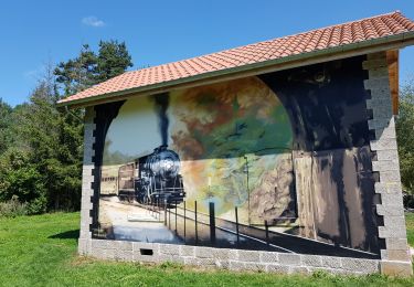
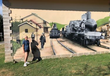
Boucle qui part juste après l'élevage de cochon de la Raille sur la route de Lérissel et limenesse.
Mountainbike

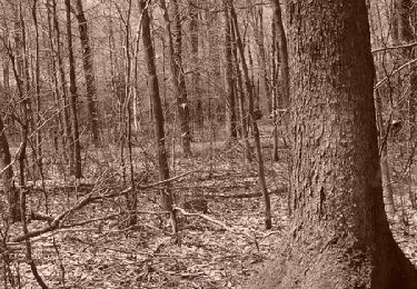
Wandern
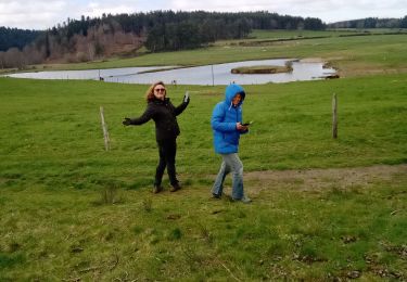
Wandern
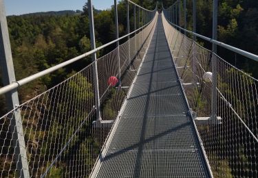
Rennrad
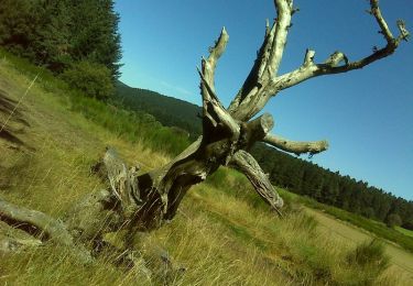
Wandern

Mountainbike
Wandern
Mountainbike
Mountainbike