


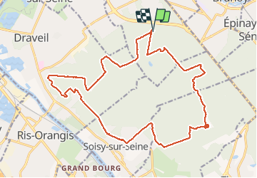

16,8 km | 18,6 km-effort

Benutzer GUIDE


Kostenlosegpshiking-Anwendung
 SityTrail
IGN / Geografische Institute
SityTrail World
Die Welt öffnet sich für Sie
Tour Wandern von 22 km verfügbar auf Île-de-France, Essonne, Montgeron. Diese Tour wird von chessyca vorgeschlagen.
Boucle effectuée le 3 février avec Brigitte.
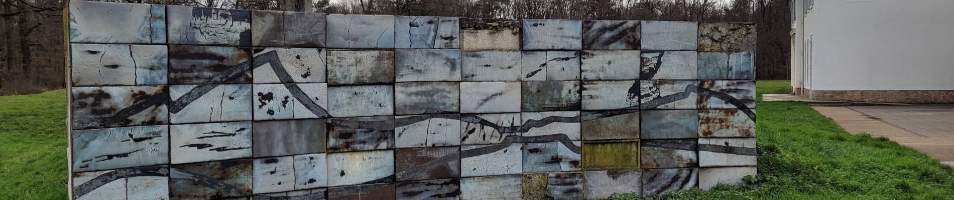
Murs sympa pour les amateurs de street art sur Dupuytrin coté foret et la chance de voir la faisanderie ouverte


Wandern

Zu Fuß

Wandern
Zu Fuß

Zu Fuß

Wandern

Wandern

Wandern

Wandern