


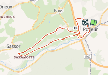

12,7 km | 16,8 km-effort


Benutzer


Kostenlosegpshiking-Anwendung
 SityTrail
IGN / Geografische Institute
SityTrail World
Die Welt öffnet sich für Sie
Tour Wandern von 8,1 km verfügbar auf Wallonien, Lüttich, Theux. Diese Tour wird von Giltayjean vorgeschlagen.
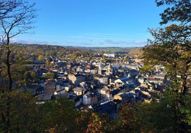
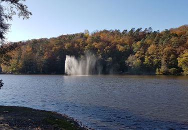
Surtout chemins de campagne - belles vues vers Theux et les Bansions. Point négatif: le bruit de l'autoroute dans le premier et le dernier kilomètre.

Wandern

Wandern

Wandern

Wandern

Zu Fuß
Wandern

Wandern
Wandern

Wandern