


3 km | 3,3 km-effort

Benutzer


Kostenlosegpshiking-Anwendung
 SityTrail
IGN / Geografische Institute
SityTrail World
Die Welt öffnet sich für Sie
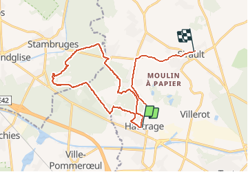
Tour Wandern von 17,2 km verfügbar auf Wallonien, Hennegau, Saint-Ghislain. Diese Tour wird von Raphaël Richez vorgeschlagen.
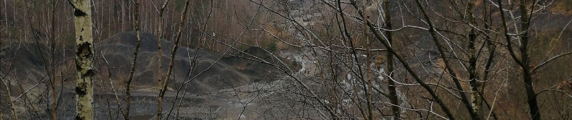
De Hautrage à la mer de sable 11 km dans les bois. Attention beaucoup d'eau et de boue, il faut s'équiper.


Wandern

Nordic Walking

Zu Fuß
Nordic Walking
Wandern
Wandern
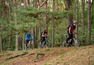
Mountainbike

Mountainbike
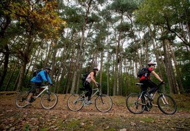
Mountainbike