


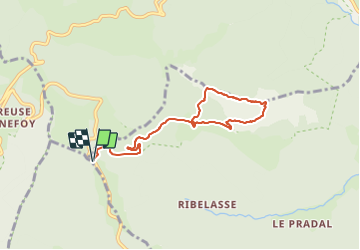

8,6 km | 11,9 km-effort


Benutzer GUIDE


Kostenlosegpshiking-Anwendung
 SityTrail
IGN / Geografische Institute
SityTrail World
Die Welt öffnet sich für Sie
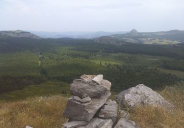
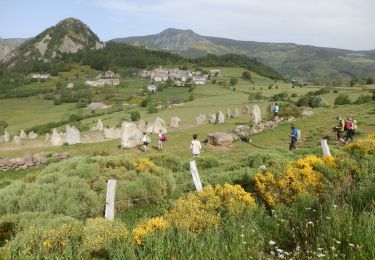
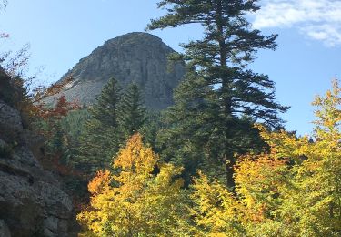
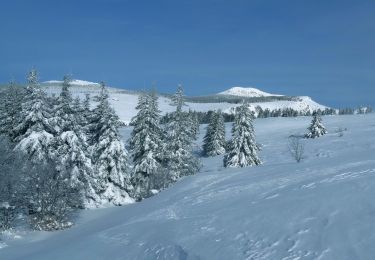
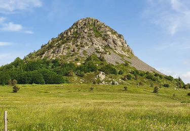
Tour Wandern von 7,9 km verfügbar auf Auvergne-Rhone-Alpen, Ardèche, Saint-Martial. Diese Tour wird von thonyc vorgeschlagen.
ATTENTION: descente raide du suc dans le pierrier. Elle est réservée à des randonneurs aguerris.
Faire demi-tour si appréhension.
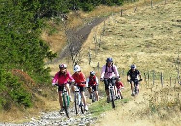
Mountainbike
Mountainbike
Wandern
Wandern
Wandern
Wandern

Wandern
Wandern
Wandern