


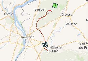

16,9 km | 21 km-effort


Benutzer


Kostenlosegpshiking-Anwendung
 SityTrail
IGN / Geografische Institute
SityTrail World
Die Welt öffnet sich für Sie
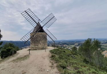
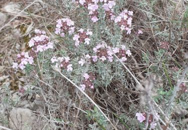
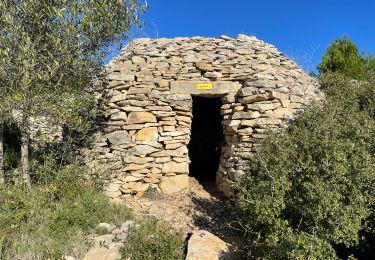
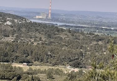
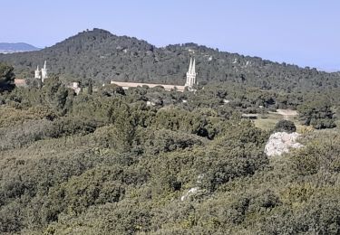
Tour Wandern von 15,8 km verfügbar auf Provence-Alpes-Côte d'Azur, Bouches-du-Rhône, Tarascon. Diese Tour wird von Sachem84 vorgeschlagen.
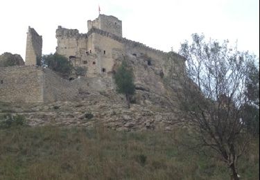
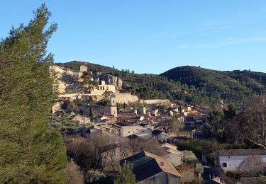
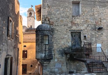
Via Avenio de la Basilique St-Michel de Frigolet à la Congrégation des Soeurs de Pomeyrol à St-Étienne-du-Grès
Wandern
Wandern

Zu Fuß
Wandern
Wandern
Wandern
Wandern
Wandern
Wandern