


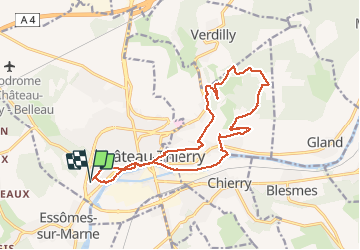

8,5 km | 10,6 km-effort


Benutzer GUIDE


Kostenlosegpshiking-Anwendung
 SityTrail
IGN / Geografische Institute
SityTrail World
Die Welt öffnet sich für Sie
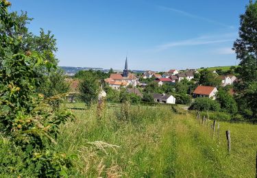
Tour Wandern von 16 km verfügbar auf Nordfrankreich, Aisne, Château-Thierry. Diese Tour wird von VANDERPUTTENMi vorgeschlagen.
Pas de balisage, attention dans le bois de Verdilly les traces sont difficiles à suivre...
Une belle randonnée...
Wandern

Wandern
Wandern
Wandern

Wandern
Wandern
Mountainbike
Wandern

Laufen