


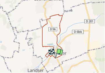

7,4 km | 9,7 km-effort


Benutzer


Kostenlosegpshiking-Anwendung
 SityTrail
IGN / Geografische Institute
SityTrail World
Die Welt öffnet sich für Sie
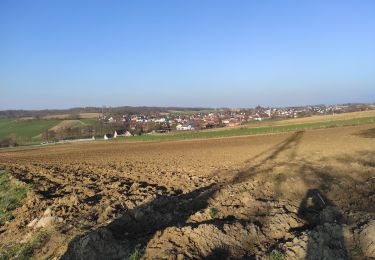
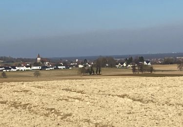
Tour Wandern von 6,2 km verfügbar auf Großer Osten, Oberelsass, Dietweiler. Diese Tour wird von argonneuweg vorgeschlagen.
Randonnée très facile avec quelques belles vues, mais une partie du circuit est trop proche de la circulation automobile.
A voir notamment la vieille tour de Dietwiller et son tilleul tricentenaire.
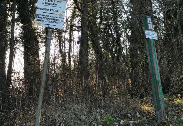
Suivre le balisage du cercle vert.

Zu Fuß
Wandern

Wandern
Wandern
Wandern

Geocaching
Wandern
Wandern
Wandern