


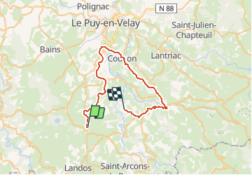

16 km | 19,4 km-effort


Benutzer


Kostenlosegpshiking-Anwendung
 SityTrail
IGN / Geografische Institute
SityTrail World
Die Welt öffnet sich für Sie
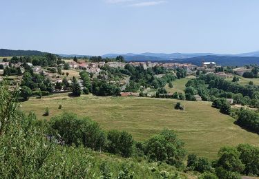
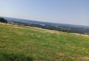
Tour Mountainbike von 43 km verfügbar auf Auvergne-Rhone-Alpen, Haute-Loire, Le Brignon. Diese Tour wird von evefrancois@orange.fr vorgeschlagen.
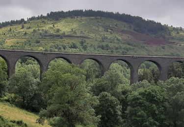
voie verte par tunnels ancienne voie chemin de fer. depart costaros, arrivee Brives charensac , retour aux Salles de st Martin de fugeres . 2 vehicules , pour moduler le retour
Wandern
Wandern
Wandern
Wandern
Wandern
Wandern
Zu Fuß
Mountainbike

Wandern