


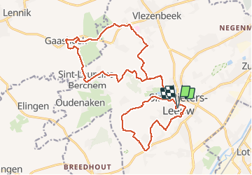


37 km | 47 km-effort

Benutzer GUIDE


Kostenlosegpshiking-Anwendung
 SityTrail
IGN / Geografische Institute
SityTrail World
Die Welt öffnet sich für Sie
Tour Wandern von 22 km verfügbar auf Flandern, Flämisch-Brabant, Sint-Pieters-Leeuw. Diese Tour wird von rvapeldo vorgeschlagen.
Jolie boucle des groteroutepaden (GR en Flandre) dans les ondulations du Brabant flamand. Elle passe par Gasbeek et de jolis sentiers. Un peu boueux en hiver, mais ça passe. Elle démarre dans le charmant village de Leeuw St Pierre.


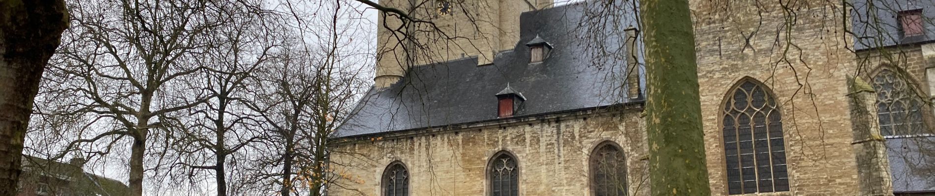
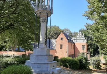
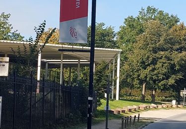
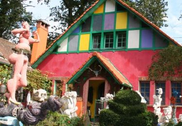
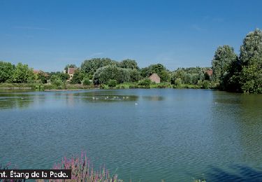
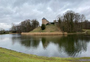
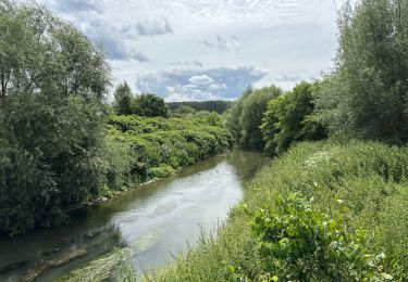
24 Fotos insgesamt. Klicken Sie auf ein Foto, um sie alle in der Galerie zu sehen.
Wandern
Wandern

Wandern

Wandern
Wandern
Wandern
Wandern

Mountainbike
Wandern