


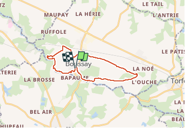

12,1 km | 13,8 km-effort


Benutzer


Kostenlosegpshiking-Anwendung
 SityTrail
IGN / Geografische Institute
SityTrail World
Die Welt öffnet sich für Sie
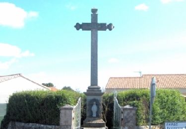
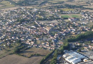
Tour Wandern von 12,5 km verfügbar auf Pays de la Loire, Loire-Atlantique, Boussay. Diese Tour wird von PhilippeLegault vorgeschlagen.
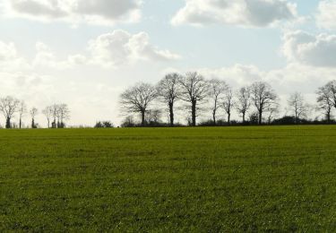
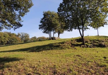
Très belle randonnée en bord de sèvre dans sa partie finale. Beaucoup de goudron dans la première partie. Attention si la rivière est en crue
Zu Fuß

Wandern
Wandern
Mountainbike

Mountainbike
Mountainbike
Mountainbike
Wandern
Wandern