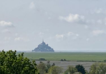
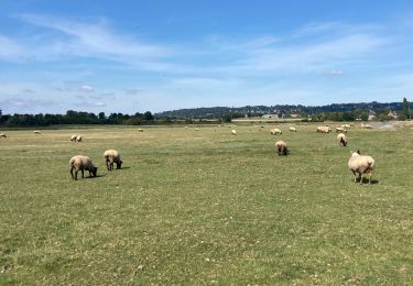
10,8 km | 11,4 km-effort
Precey
guy50880
Benutzer
Länge
1,4 km
Maximale Höhe
58 m
Positive Höhendifferenz
3 m
Km-Effort
1,4 km
Min. Höhe
42 m
Negative Höhendifferenz
18 m
Boucle
Nein
Erstellungsdatum :
2020-12-25 10:10:46.122
Letzte Änderung :
2020-12-25 13:15:41.458
32m
Schwierigkeit : Sehr leicht
Kostenlosegpshiking-Anwendung
Über SityTrail
Tour Wandern von 1,4 km verfügbar auf Normandie, Manche, Précey. Diese Tour wird von guy50880 vorgeschlagen.
Beschreibung
Facile
Ort
Land:
France
Region :
Normandie
Abteilung/Provinz :
Manche
Kommune :
Précey
Standort:
Unknown
Gehen Sie:(Dec)
Gehen Sie:(UTM)
621034 ; 5385641 (30U) N.
Kommentare
Touren in der Umgebung
La roche taurin Mont st michel
Wandern
Einfach
(1)
Courtils,
Normandie,
Manche,
France
3h 52min
Nein
Au fil de la Sélune
Wandern
Medium
(1)
Ducey-les-Chéris,
Normandie,
Manche,
France
8,6 km | 9,5 km-effort
2h 0min
Ja
La Roche Torin - le bas courtils
Wandern
Einfach
Courtils,
Normandie,
Manche,
France
11 km | 11,9 km-effort
3h 5min
Ja
Pontaubault - Roche de Thorin
Wandern
Medium
Pontaubault,
Normandie,
Manche,
France
12,6 km | 13,8 km-effort
3h 38min
Ja
Pontaucault - Mont-Saint-Michel
Radtourismus
Sehr schwierig
Pontaubault,
Normandie,
Manche,
France
39 km | 42 km-effort
4h 14min
Ja
Véloscénie Ducey Mont St Michel
Radtourismus
Sehr leicht
Ducey-les-Chéris,
Normandie,
Manche,
France
33 km | 36 km-effort
2h 51min
Nein
courtils / Mont St Michel
Wandern
Sehr leicht
Courtils,
Normandie,
Manche,
France
9 km | 9,4 km-effort
1h 55min
Nein
F.DuceyStMalo37H89.369.VTT0
Mountainbike
Medium
Ducey-les-Chéris,
Normandie,
Manche,
France
89 km | 96 km-effort
6h 25min
Nein