


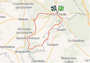

25 km | 32 km-effort


Benutzer


Kostenlosegpshiking-Anwendung
 SityTrail
IGN / Geografische Institute
SityTrail World
Die Welt öffnet sich für Sie
Tour Wandern von 26 km verfügbar auf Île-de-France, Essonne, Milly-la-Forêt. Diese Tour wird von JacquesMARQUET vorgeschlagen.
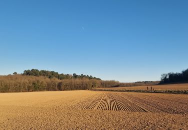
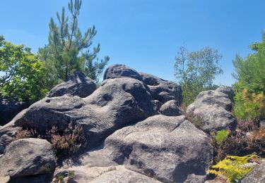
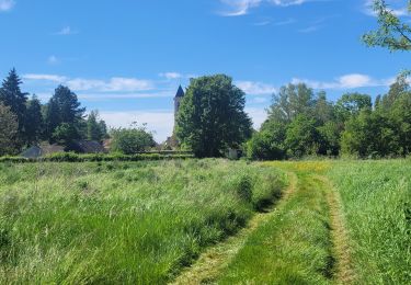
Une belle journée de rando, dans un cadre alternant forêt et plaine.
Pas très difficile, mais nécessite un peu d'entrainement.

Wandern

Wandern

Zu Fuß

Wandern

Wandern
Wandern
Wandern
Wandern
Zu Fuß