


7,2 km | 9,1 km-effort


Benutzer


Kostenlosegpshiking-Anwendung
 SityTrail
IGN / Geografische Institute
SityTrail World
Die Welt öffnet sich für Sie
Tour Nordic Walking von 14,3 km verfügbar auf Großer Osten, Mosel, Salzmar. Diese Tour wird von Ajul vorgeschlagen.
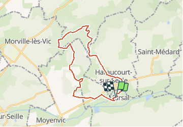
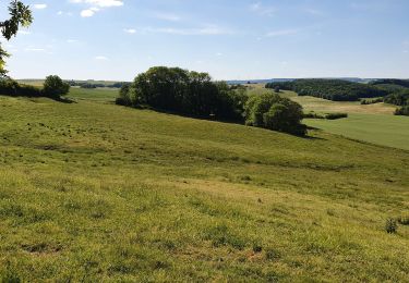
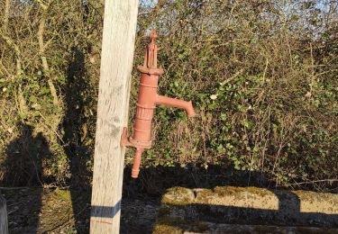
Très belle rando variée en pleine nature. Départ de Marsal, ( 300m de départementale), prendre le GR5, pose dans un bel abri, montée à la table d'orientation avec vue sur le Donon, chapelle St Livier,. après une pâture ballade en forêt pour redescendre sur le village d'Haraucourt. traversée de la D38, pour longer les remparts de Marsal.
(présence d'un restaurant)
Wandern
Wandern
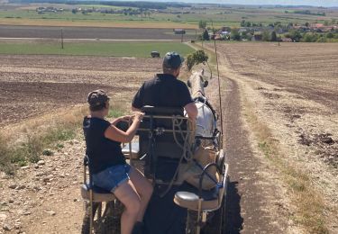
Kutsche fahren

Pferd

Wandern
Wandern
Wandern
Wandern