


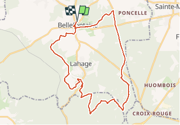

9,4 km | 11 km-effort

Benutzer


Kostenlosegpshiking-Anwendung
 SityTrail
IGN / Geografische Institute
SityTrail World
Die Welt öffnet sich für Sie
Tour Wandern von 20 km verfügbar auf Wallonien, Luxemburg, Tintigny. Diese Tour wird von jeangulu vorgeschlagen.
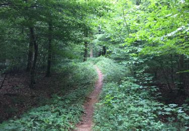
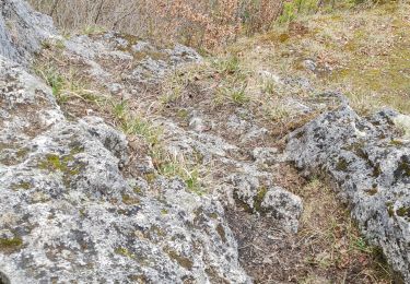
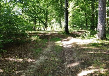
parcours forestier en grande partie par endroit sentiers fort abîmés de par le passage d engins à genilles et de tracteurs et ce pour le transport des arbres qui ont été abattus paysage automnal


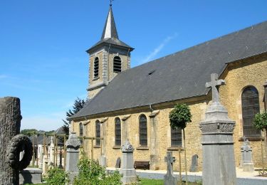
Wandern
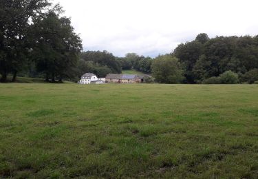
Wandern
Wandern
Wandern
Zu Fuß
Wandern
Wandern
Wandern
Wandern