


4,1 km | 5,3 km-effort


Benutzer GUIDE


Kostenlosegpshiking-Anwendung
 SityTrail
IGN / Geografische Institute
SityTrail World
Die Welt öffnet sich für Sie
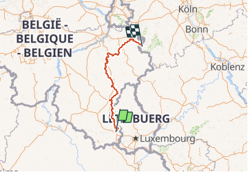
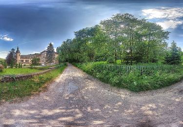
Tour Wandern von 230 km verfügbar auf Wallonien, Luxemburg, Arel. Diese Tour wird von Pierre Lefèvre vorgeschlagen.
Remontez le Belgique du Nord au Sud en longeant la frontière luxembourgeoise. Puis obliquez Sud-Est vers vers Eupen, et au-delà jusqu'à Monschau.
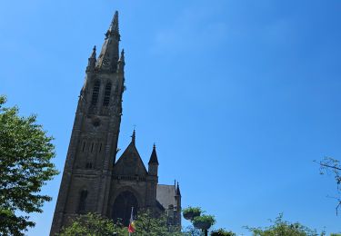
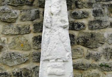
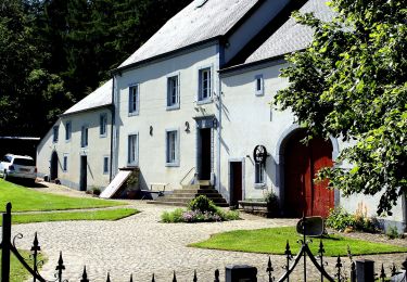
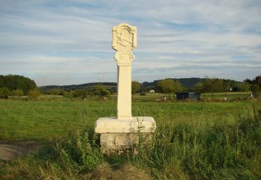
Le GR 15 c'est un sentier de 230 Km et 5464 D qui démarre à Arlon, puis passe par Martelange, Bastogne, Houffalize, Manhay, Aywaille, Spa, Eupen et aboutit enfin à Monschau.
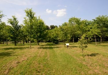
Wandern
Wandern
Wandern

Wandern
Wandern
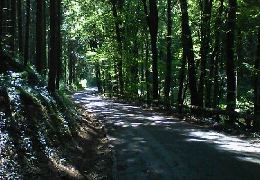
Zu Fuß
Zu Fuß
Zu Fuß
Zu Fuß