22 km | 28 km-effort
2020-11-08_16h58m14_Tinlot alentours
Raphaël Erguti
Benutzer
Länge
9,6 km
Maximale Höhe
289 m
Positive Höhendifferenz
124 m
Km-Effort
11,3 km
Min. Höhe
239 m
Negative Höhendifferenz
132 m
Boucle
Ja
Erstellungsdatum :
2020-11-08 15:58:15.563
Letzte Änderung :
2020-11-09 17:47:10.85
--
Schwierigkeit : Einfach
Kostenlosegpshiking-Anwendung
Über SityTrail
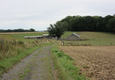
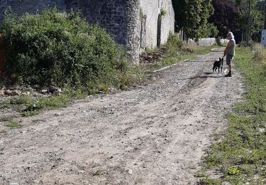
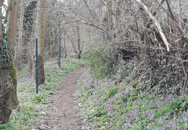
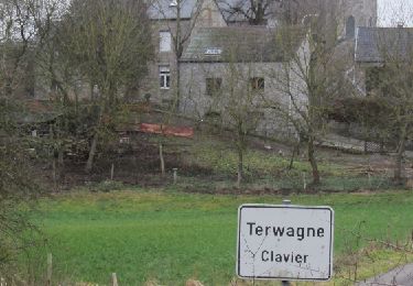
Tour Zu Fuß von 9,6 km verfügbar auf Wallonien, Lüttich, Tinlot. Diese Tour wird von Raphaël Erguti vorgeschlagen.
Beschreibung
Balade sympa effectuée en famille pour notre part.
Ort
Land:
Belgium
Region :
Wallonien
Abteilung/Provinz :
Lüttich
Kommune :
Tinlot
Standort:
Fraiture
Gehen Sie:(Dec)
Gehen Sie:(UTM)
671098 ; 5594483 (31U) N.
Kommentare
Touren in der Umgebung
ouffet fermes ac +
Wandern
Medium
(2)
Ouffet,
Wallonien,
Lüttich,
Belgium
8,6 km | 10,7 km-effort
2h 41min
Ja
Villers le temple . st jean sart . clemaude
Wandern
Sehr leicht
(1)
Nandrin,
Wallonien,
Lüttich,
Belgium
7,9 km | 10,4 km-effort
2h 12min
Ja
CLAVIER - Autour du Vieux Rail
Wandern
Einfach
(3)
Clavier,
Wallonien,
Lüttich,
Belgium
8,3 km | 9,9 km-effort
2h 8min
Ja
première rando anthisne tavier
Mountainbike
Medium
(1)
Anthisnes,
Wallonien,
Lüttich,
Belgium
10,2 km | 13,4 km-effort
1h 8min
Ja
promenade de la rochette : villers le temple - grand fond d'oxhe - villers le...
Wandern
Medium
(1)
Nandrin,
Wallonien,
Lüttich,
Belgium
10 km | 13,3 km-effort
2h 47min
Ja
2. Balade des Loups
Zu Fuß
Einfach
Ouffet,
Wallonien,
Lüttich,
Belgium
11,6 km | 13,8 km-effort
3h 7min
Ja
AS06 Boucle des Sarts
Zu Fuß
Einfach
Anthisnes,
Wallonien,
Lüttich,
Belgium
10,9 km | 13,6 km-effort
3h 4min
Ja