


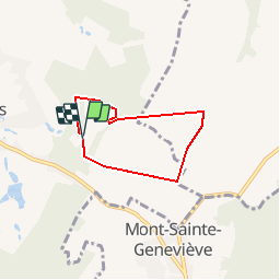

9,1 km | 10,4 km-effort


Benutzer


Kostenlosegpshiking-Anwendung
 SityTrail
IGN / Geografische Institute
SityTrail World
Die Welt öffnet sich für Sie
Tour Pferd von 4,4 km verfügbar auf Wallonien, Hennegau, Binche. Diese Tour wird von olegrand76 vorgeschlagen.
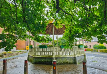
Passage par l'arrière du château
A droite à petite chapelle
Entrée dans champ
Reprise petit chemin entre deux champs
Rattrape route entre champs
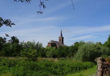
Entrée au château

Wandern
Wandern

Wandern
Wandern
Wandern

Wandern
Wandern
Wandern
Wandern