![](/images/other/stat-length.png)
![Tour Wandern Vuren - Teuven - Diependaal 🇳🇱 - Photo](https://media.geolcdn.com/t/1900/400/7b89bc95-4848-4fd8-b972-26730c0cd02c.jpg&format=pjpeg&maxdim=2)
Teuven - Diependaal 🇳🇱
mumu.larandonneuse
Benutzer GUIDE
![Länge](/images/other/stat-length.png)
Länge
11,6 km
![Maximale Höhe](https://static1.geolcdn.com/siteimages/upload/files/1508320355ic_sort_altitude_max_24dp.png)
Maximale Höhe
255 m
![Positive Höhendifferenz](https://static1.geolcdn.com/siteimages/upload/files/1508320355ic_sort_den_pos_24dp.png)
Positive Höhendifferenz
322 m
![Km-Effort](/images/other/stat-length.png)
Km-Effort
15,9 km
![Min. Höhe](https://static1.geolcdn.com/siteimages/upload/files/1508320355ic_sort_altitude_min_24dp.png)
Min. Höhe
143 m
![Negative Höhendifferenz](https://static1.geolcdn.com/siteimages/upload/files/1508320355ic_sort_den_neg_24dp.png)
Negative Höhendifferenz
320 m
![Boucle](https://static1.geolcdn.com/siteimages/upload/files/16400158638029165_repeat_loop_refresh_sync_direction_icon.png)
Boucle
Ja
Erstellungsdatum :
2020-10-26 08:29:00.22
Letzte Änderung :
2020-10-26 12:08:48.575
![Wandern](https://static1.geolcdn.com/sitytour/trail-icons/101.png)
2h30
Schwierigkeit : Medium
![Scannen Sie diesen QR-Code, um die Tour in der SityTrail-Anwendung zu öffnen](https://capi.geolives.com/qq0zvz2zws4bq2lad0pu/sitytour/trails/2588420/qr.png?size=200)
Kostenlosegpshiking-Anwendung
Über SityTrail
Tour Wandern von 11,6 km verfügbar auf Flandern, Limburg, Vuren. Diese Tour wird von mumu.larandonneuse vorgeschlagen.
Beschreibung
Belle promenade transfrontalière.
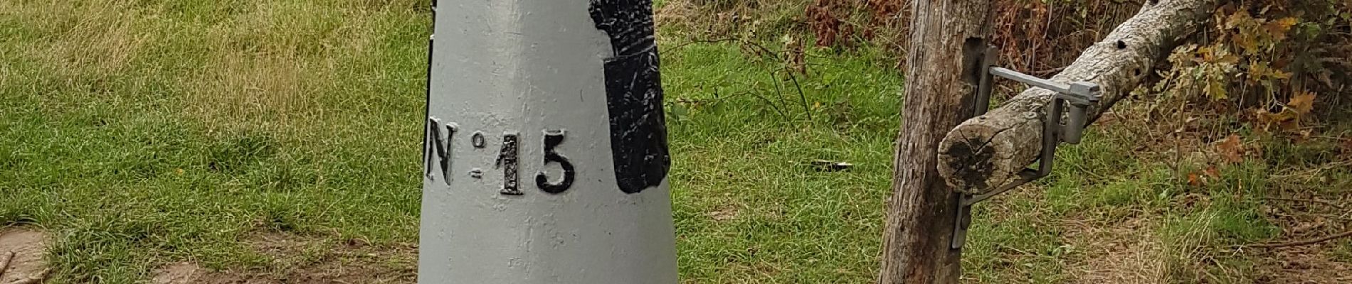
📌parking communal face à l'hôtel The Kings Head Inn à Teuven-Village 66.
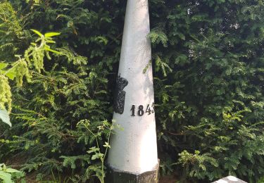
➡️ Descriptif complet sur www.wandelgidszuidlimburg.com n° 170.
Ort
Land:
Belgium
Region :
Flandern
Abteilung/Provinz :
Limburg
Kommune :
Vuren
Standort:
Teuven
Gehen Sie:(Dec)
Gehen Sie:(UTM)
702918 ; 5626121 (31U) N.
Kommentare
Touren in der Umgebung
![Tour Wandern Bleiberg - Hombourg. Natura 2000, des sites qui valent le détour ! Lg6 - Photo](https://media.geolcdn.com/t/375/260/ext.jpg?maxdim=2&url=https%3A%2F%2Fservices.sitytrail.com%2FGeolivesWS%2FDownloadMedia.ashx%3FTrailID%3D142693%26Media%3D08dbd372-9409-44af-92fd-51b9576d1e78.JPG)
![Wandern Wandern](https://static1.geolcdn.com/sitytour/trail-icons/101.png)
Hombourg. Natura 2000, des sites qui valent le détour ! Lg6
Wandern
Einfach
(10)
Bleiberg,
Wallonien,
Lüttich,
Belgium
![](/images/other/stat-length.png)
9,5 km | 12 km-effort
2h 35min
![](https://static1.geolcdn.com/siteimages/upload/files/16400158638029165_repeat_loop_refresh_sync_direction_icon.png)
Ja
![Tour Wandern Gulpen-Wittem - 2024-10-26_19h39m19_1518.gpx.xml - Photo](https://media.geolcdn.com/t/375/260/8521698d-6278-4db9-b85e-3d349e5101aa.jpg&format=jpg&maxdim=2)
![Wandern Wandern](https://static1.geolcdn.com/sitytour/trail-icons/101.png)
2024-10-26_19h39m19_1518.gpx.xml
Wandern
Medium
(1)
Gulpen-Wittem,
Limburg,
Unbekannt,
Netherlands
![](/images/other/stat-length.png)
6,6 km | 8,9 km-effort
2h 0min
![](https://static1.geolcdn.com/siteimages/upload/files/16400158638029165_repeat_loop_refresh_sync_direction_icon.png)
Ja
![Tour Wandern Vuren - Amstel Gold Race 2024 🚲 - Photo](https://media.geolcdn.com/t/375/260/bca146f7-0c03-4970-a3ca-ea328283e994.jpg&format=jpg&maxdim=2)
![Wandern Wandern](https://static1.geolcdn.com/sitytour/trail-icons/101.png)
Amstel Gold Race 2024 🚲
Wandern
Medium
(1)
Vuren,
Flandern,
Limburg,
Belgium
![](/images/other/stat-length.png)
11,7 km | 14,9 km-effort
3h 23min
![](https://static1.geolcdn.com/siteimages/upload/files/16400158638029165_repeat_loop_refresh_sync_direction_icon.png)
Ja
![Tour Wandern Gulpen-Wittem - Epen - Vijlen - Mechelen - Photo](https://media.geolcdn.com/t/375/260/5bb62a81-94e0-4aeb-8671-819fde7ee6b3.jpg&format=jpg&maxdim=2)
![Wandern Wandern](https://static1.geolcdn.com/sitytour/trail-icons/101.png)
Epen - Vijlen - Mechelen
Wandern
Einfach
(1)
Gulpen-Wittem,
Limburg,
Unbekannt,
Netherlands
![](/images/other/stat-length.png)
13,9 km | 17,5 km-effort
3h 9min
![](https://static1.geolcdn.com/siteimages/upload/files/16400158638029165_repeat_loop_refresh_sync_direction_icon.png)
Ja
![Tour Wandern Vuren - Ulvend - La Planck - Noorbeek - Photo](https://media.geolcdn.com/t/375/260/1b8a3af4-c436-4943-b8e2-3197209c6144.jpg&format=jpg&maxdim=2)
![Wandern Wandern](https://static1.geolcdn.com/sitytour/trail-icons/101.png)
Ulvend - La Planck - Noorbeek
Wandern
Einfach
(1)
Vuren,
Flandern,
Limburg,
Belgium
![](/images/other/stat-length.png)
17 km | 22 km-effort
4h 57min
![](https://static1.geolcdn.com/siteimages/upload/files/16400158638029165_repeat_loop_refresh_sync_direction_icon.png)
Ja
![Tour Wandern Vuren - 2022-11-11_17h35m36_wandelroute-de-voerstreek-mooiste - Photo](https://media.geolcdn.com/t/375/260/3df743f8-88e4-4c10-a47a-c05fdf0072fe.jpg&format=jpg&maxdim=2)
![Wandern Wandern](https://static1.geolcdn.com/sitytour/trail-icons/101.png)
2022-11-11_17h35m36_wandelroute-de-voerstreek-mooiste
Wandern
Medium
(1)
Vuren,
Flandern,
Limburg,
Belgium
![](/images/other/stat-length.png)
9,3 km | 12,5 km-effort
2h 49min
![](https://static1.geolcdn.com/siteimages/upload/files/16400158638029165_repeat_loop_refresh_sync_direction_icon.png)
Ja
![Tour Wandern Vuren - La Commanderie 7 - Photo](https://media.geolcdn.com/t/375/260/e2b67305-0779-4cca-9070-82e3402cc790.jpg&format=jpg&maxdim=2)
![Wandern Wandern](https://static1.geolcdn.com/sitytour/trail-icons/101.png)
La Commanderie 7
Wandern
Einfach
(1)
Vuren,
Flandern,
Limburg,
Belgium
![](/images/other/stat-length.png)
4,5 km | 6,3 km-effort
1h 26min
![](https://static1.geolcdn.com/siteimages/upload/files/16400158638029165_repeat_loop_refresh_sync_direction_icon.png)
Ja
![Tour Wandern Gulpen-Wittem - 2021-07-01_12h32m15_730 - Photo](https://media.geolcdn.com/t/375/260/6d525f96-e75b-473b-8ed3-0e3441be1b34.jpg&format=jpg&maxdim=2)
![Wandern Wandern](https://static1.geolcdn.com/sitytour/trail-icons/101.png)
2021-07-01_12h32m15_730
Wandern
Einfach
(1)
Gulpen-Wittem,
Limburg,
Unbekannt,
Netherlands
![](/images/other/stat-length.png)
21 km | 26 km-effort
5h 59min
![](https://static1.geolcdn.com/siteimages/upload/files/16400158638029165_repeat_loop_refresh_sync_direction_icon.png)
Ja
![Tour Wandern Eijsden-Margraten - 2021-06-19_19h26m43_031 - Photo](https://media.geolcdn.com/t/375/260/136c3226-85ca-4638-b449-da2a119d703c.jpg&format=jpg&maxdim=2)
![Wandern Wandern](https://static1.geolcdn.com/sitytour/trail-icons/101.png)
2021-06-19_19h26m43_031
Wandern
Einfach
(1)
Eijsden-Margraten,
Limburg,
Unbekannt,
Netherlands
![](/images/other/stat-length.png)
13,3 km | 15,7 km-effort
3h 34min
![](https://static1.geolcdn.com/siteimages/upload/files/16400158638029165_repeat_loop_refresh_sync_direction_icon.png)
Ja
Cool! Belle ballade très diversifiée ! Merci...