


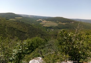
11,4 km | 16 km-effort

Benutzer


Kostenlosegpshiking-Anwendung
 SityTrail
IGN / Geografische Institute
SityTrail World
Die Welt öffnet sich für Sie
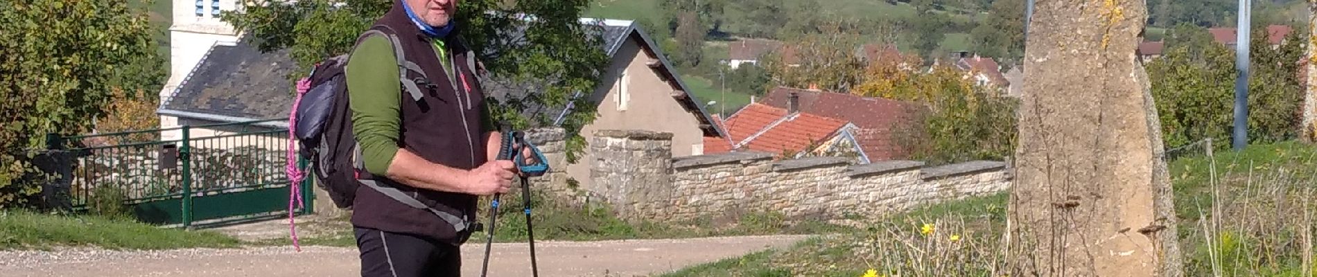
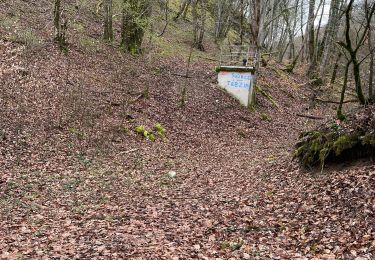
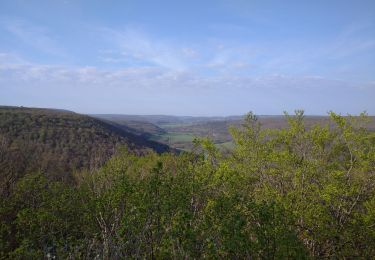
Tour Zu Fuß von 15,5 km verfügbar auf Burgund und Freigrafschaft, Côte-d'Or, Barbirey-sur-Ouche. Diese Tour wird von mpstoop vorgeschlagen.
depart chateau, trou qui fume, La Montagne/, le Chatelet hors sentier/grenand les sombernon, foret de Veluze par grande cabane de chasse, retour

Wandern

Wandern

Wandern
Wandern

Elektrofahrrad
Wandern
Wandern
Wandern
Wandern