![](/images/other/stat-length.png)
![Tour Wandern Blangerval-Blangermont - Blangermont - Photo](https://media.geolcdn.com/t/1900/400/338df122-5cfa-4d07-a35d-1953cd4ed4c4.jpg&format=pjpeg&maxdim=2)
Blangermont
Jeni Co'lor
Benutzer
![Länge](/images/other/stat-length.png)
Länge
14,2 km
![Maximale Höhe](https://static1.geolcdn.com/siteimages/upload/files/1508320355ic_sort_altitude_max_24dp.png)
Maximale Höhe
134 m
![Positive Höhendifferenz](https://static1.geolcdn.com/siteimages/upload/files/1508320355ic_sort_den_pos_24dp.png)
Positive Höhendifferenz
164 m
![Km-Effort](/images/other/stat-length.png)
Km-Effort
16,4 km
![Min. Höhe](https://static1.geolcdn.com/siteimages/upload/files/1508320355ic_sort_altitude_min_24dp.png)
Min. Höhe
51 m
![Negative Höhendifferenz](https://static1.geolcdn.com/siteimages/upload/files/1508320355ic_sort_den_neg_24dp.png)
Negative Höhendifferenz
164 m
![Boucle](https://static1.geolcdn.com/siteimages/upload/files/16400158638029165_repeat_loop_refresh_sync_direction_icon.png)
Boucle
Ja
Erstellungsdatum :
2020-10-22 09:03:50.423
Letzte Änderung :
2020-10-22 13:00:21.029
![Wandern](https://static1.geolcdn.com/sitytour/trail-icons/101.png)
3h21
Schwierigkeit : Medium
![Scannen Sie diesen QR-Code, um die Tour in der SityTrail-Anwendung zu öffnen](https://capi.geolives.com/qq0zvz2zws4bq2lad0pu/sitytour/trails/2584585/qr.png?size=200)
Kostenlosegpshiking-Anwendung
Über SityTrail
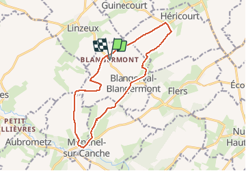
Tour Wandern von 14,2 km verfügbar auf Nordfrankreich, Pas-de-Calais, Blangerval-Blangermont. Diese Tour wird von Jeni Co'lor vorgeschlagen.
Beschreibung
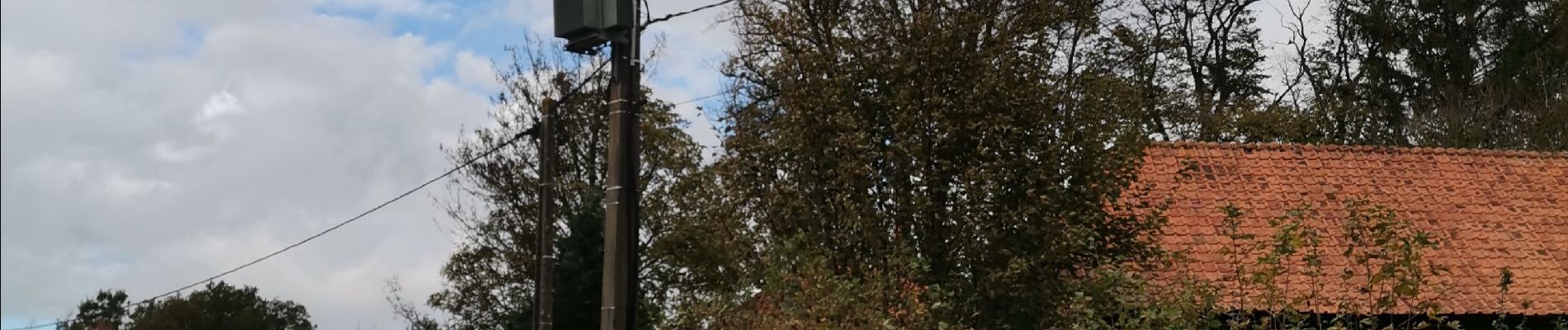
Rando à travers champs sur beaucoup de chemin goudronnée, un chemin manquant avec les récoltes, donc obligé de traverser un champ de betterave.
Ort
Land:
France
Region :
Nordfrankreich
Abteilung/Provinz :
Pas-de-Calais
Kommune :
Blangerval-Blangermont
Standort:
Unknown
Gehen Sie:(Dec)
Gehen Sie:(UTM)
444367 ; 5575645 (31U) N.
Kommentare
Touren in der Umgebung
![Tour Wandern Boubers-sur-Canche - 7 km autour de Boubers sur Canche - Photo](https://media.geolcdn.com/t/375/260/ext.jpg?maxdim=2&url=https%3A%2F%2Fservices.sitytrail.com%2FGeolivesWS%2FDownloadMedia.ashx%3FTrailID%3D129842%26Media%3D13395_5.jpg)
![Wandern Wandern](https://static1.geolcdn.com/sitytour/trail-icons/101.png)
7 km autour de Boubers sur Canche
Wandern
Einfach
Boubers-sur-Canche,
Nordfrankreich,
Pas-de-Calais,
France
![](/images/other/stat-length.png)
6,8 km | 7,9 km-effort
1h 40min
![](https://static1.geolcdn.com/siteimages/upload/files/16400158638029165_repeat_loop_refresh_sync_direction_icon.png)
Ja
![Tour Wandern Ligny-sur-Canche - LIGNY SUR CANCHE - Le fond de Boubers - Photo](https://media.geolcdn.com/t/375/260/4b8325fc-19bd-4d26-8c41-86cfc4b87521.jpg&format=jpg&maxdim=2)
![Wandern Wandern](https://static1.geolcdn.com/sitytour/trail-icons/101.png)
LIGNY SUR CANCHE - Le fond de Boubers
Wandern
Schwierig
Ligny-sur-Canche,
Nordfrankreich,
Pas-de-Calais,
France
![](/images/other/stat-length.png)
10,7 km | 12,7 km-effort
2h 52min
![](https://static1.geolcdn.com/siteimages/upload/files/16400158638029165_repeat_loop_refresh_sync_direction_icon.png)
Ja
![Tour Wandern Fillièvres - Boucle de Fillièvres par Conchy sur Canche - Photo](https://media.geolcdn.com/t/375/260/ext.jpg?maxdim=2&url=https%3A%2F%2Fstatic1.geolcdn.com%2Fsiteimages%2Fupload%2Ffiles%2F1553511878bg_sport_marche.png)
![Wandern Wandern](https://static1.geolcdn.com/sitytour/trail-icons/101.png)
Boucle de Fillièvres par Conchy sur Canche
Wandern
Schwierig
Fillièvres,
Nordfrankreich,
Pas-de-Calais,
France
![](/images/other/stat-length.png)
14,9 km | 17,6 km-effort
4h 0min
![](https://static1.geolcdn.com/siteimages/upload/files/16400158638029165_repeat_loop_refresh_sync_direction_icon.png)
Ja
![Tour Wandern Willeman - Boucle de Willeman par la vallée de la Canche - Photo](https://media.geolcdn.com/t/375/260/ext.jpg?maxdim=2&url=https%3A%2F%2Fstatic1.geolcdn.com%2Fsiteimages%2Fupload%2Ffiles%2F1553511878bg_sport_marche.png)
![Wandern Wandern](https://static1.geolcdn.com/sitytour/trail-icons/101.png)
Boucle de Willeman par la vallée de la Canche
Wandern
Schwierig
Willeman,
Nordfrankreich,
Pas-de-Calais,
France
![](/images/other/stat-length.png)
12,8 km | 15,2 km-effort
3h 27min
![](https://static1.geolcdn.com/siteimages/upload/files/16400158638029165_repeat_loop_refresh_sync_direction_icon.png)
Ja
![Tour Wandern Willeman - Boucle de la Canche par Willeman - Photo](https://media.geolcdn.com/t/375/260/ext.jpg?maxdim=2&url=https%3A%2F%2Fstatic1.geolcdn.com%2Fsiteimages%2Fupload%2Ffiles%2F1553511878bg_sport_marche.png)
![Wandern Wandern](https://static1.geolcdn.com/sitytour/trail-icons/101.png)
Boucle de la Canche par Willeman
Wandern
Sehr schwierig
Willeman,
Nordfrankreich,
Pas-de-Calais,
France
![](/images/other/stat-length.png)
16,5 km | 19,2 km-effort
4h 21min
![](https://static1.geolcdn.com/siteimages/upload/files/16400158638029165_repeat_loop_refresh_sync_direction_icon.png)
Ja
![Tour Wandern Willeman - Willeman Départ de la ferme du Rossignol - Photo](https://media.geolcdn.com/t/375/260/ext.jpg?maxdim=2&url=https%3A%2F%2Fstatic1.geolcdn.com%2Fsiteimages%2Fupload%2Ffiles%2F1553511878bg_sport_marche.png)
![Wandern Wandern](https://static1.geolcdn.com/sitytour/trail-icons/101.png)
Willeman Départ de la ferme du Rossignol
Wandern
Schwierig
Willeman,
Nordfrankreich,
Pas-de-Calais,
France
![](/images/other/stat-length.png)
16,6 km | 19 km-effort
4h 10min
![](https://static1.geolcdn.com/siteimages/upload/files/16400158638029165_repeat_loop_refresh_sync_direction_icon.png)
Ja