


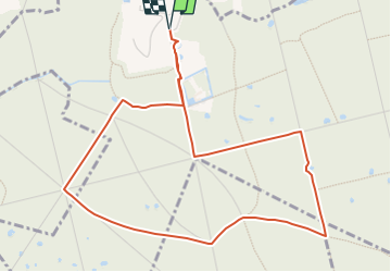


11 km | 12 km-effort


Club randonnées SERVON


Kostenlosegpshiking-Anwendung
 SityTrail
IGN / Geografische Institute
SityTrail World
Die Welt öffnet sich für Sie
Tour Zu Fuß von 6,6 km verfügbar auf Île-de-France, Val-de-Marne, La Queue-en-Brie. Diese Tour wird von Les 1000 pattes vorgeschlagen.
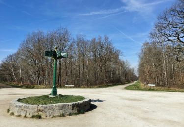
Parking chemin des Marmousets à la Queue en Brie
Trajet Servon-->la Queue en Brie: 12km
Attention ! Ne faire que par temps sec et terrain sec

Wandern

Zu Fuß
Zu Fuß

Wandern
Wandern

Wandern

Wandern

Wandern
Wandern