


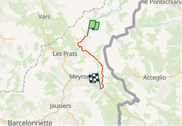

16,7 km | 31 km-effort


Benutzer


Kostenlosegpshiking-Anwendung
 SityTrail
IGN / Geografische Institute
SityTrail World
Die Welt öffnet sich für Sie
Tour Zu Fuß von 19,7 km verfügbar auf Provence-Alpes-Côte d'Azur, Alpes-de-Haute-Provence, Saint-Paul-sur-Ubaye. Diese Tour wird von MathieuBourgois vorgeschlagen.
Fouilleuse 6.4km 400D bar et resto
Fort de Plate Lombarde 9km et 710D
Col de Valonnet 12km et 1000D
Col de Mallemort 15km et 1200D
Larche 20km et 1200D

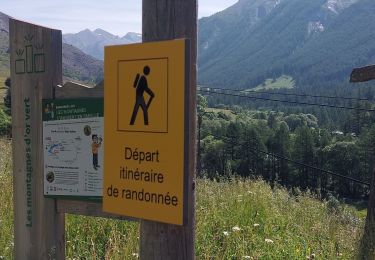
Wandern

Wandern
Wandern

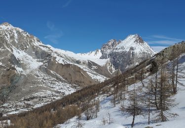
Andere Aktivitäten
Wandern

Wandern
Wandern
Schneeschuhwandern
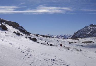
Skiwanderen