


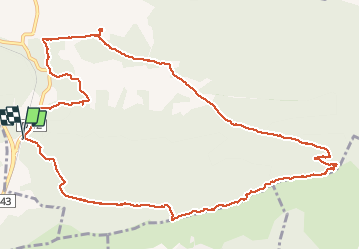


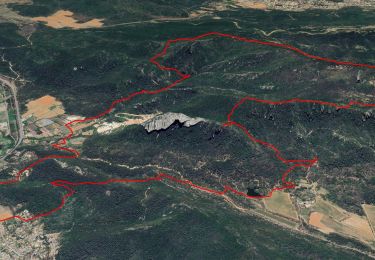
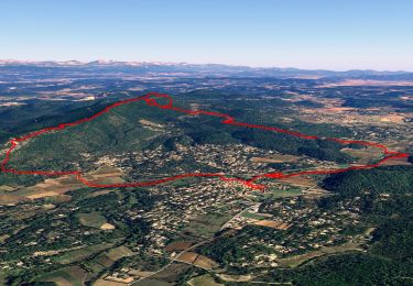
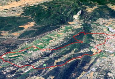
13,9 km | 23 km-effort

Benutzer


Kostenlosegpshiking-Anwendung
 SityTrail
IGN / Geografische Institute
SityTrail World
Die Welt öffnet sich für Sie
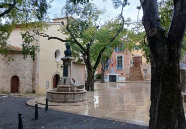
Tour Wandern von 14,4 km verfügbar auf Provence-Alpes-Côte d'Azur, Var, Camps-la-Source. Diese Tour wird von jean-marie.parachini vorgeschlagen.
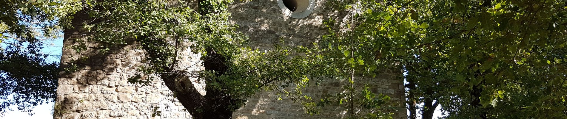
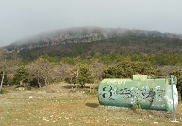
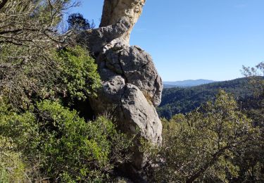
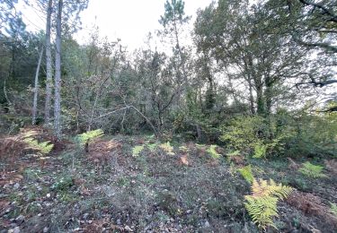
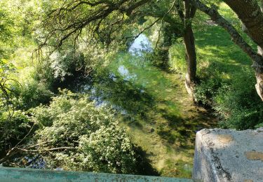
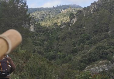
randonnée par sentier escarpé et rocheux vers chapelle de Saint Quinis avec vue panoramique vers plaine de l'Issole côte Toulonnaise montagne Sainte Victoire et sommets enneigés du Mercantour.


24 Fotos insgesamt. Klicken Sie auf ein Foto, um sie alle in der Galerie zu sehen.
Wandern
Wandern
Wandern
Wandern
Wandern
Wandern

sport
Wandern
Wandern