


 - Photo 21")
 - Photo 22")
 - Photo 23")
 - Photo 24")
 - Photo 25")
 - Photo 26")

16,5 km | 28 km-effort

Benutzer


Kostenlosegpshiking-Anwendung
 SityTrail
IGN / Geografische Institute
SityTrail World
Die Welt öffnet sich für Sie
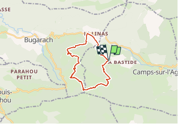
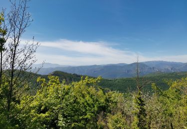
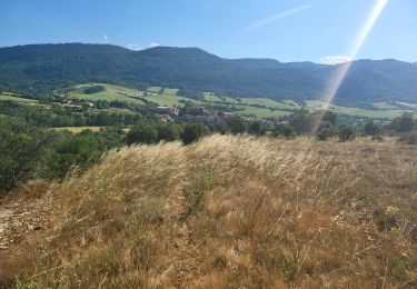
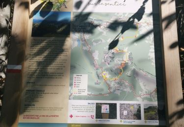
Tour Wandern von 12,7 km verfügbar auf Okzitanien, Aude, Camps-sur-l'Agly. Diese Tour wird von PiloudeBamako vorgeschlagen.
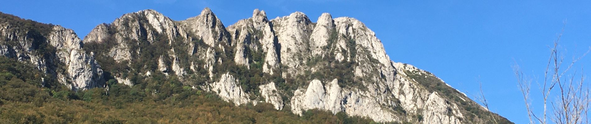
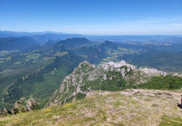
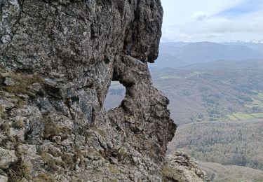
Contournement du Pech par le Sud (GR 367) au départ du hameau de la Bastide (commune de Camps-sur-l'Agly). Ascension par le GR 36 et "la fenêtre".
Descente (pente forte et glissante par temps humide) par le Nord du Pech vers le col de Linas.
A mon avis, l'ascension doit se faire dans ce sens car la descente du Pech par "la fenêtre" est très escarpée et impressionnante face au vide, alors que la montée est assez facile dos au vide.
 - Photo 1")
 - Photo 2")
 - Photo 3")
 - Photo 4")
 - Photo 5")
 - Photo 6")
 - Photo 7")
 - Photo 8")
 - Photo 9")
 - Photo 10")
 - Photo 11")
 - Photo 12")
 - Photo 13")
 - Photo 14")
 - Photo 15")
 - Photo 16")
 - Photo 17")
 - Photo 18")
 - Photo 19")
 - Photo 20")
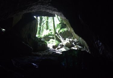
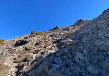
26 Fotos insgesamt. Klicken Sie auf ein Foto, um sie alle in der Galerie zu sehen.
Wandern
Wandern
Wandern
Wandern
Wandern
Wandern
Wandern
Wandern