


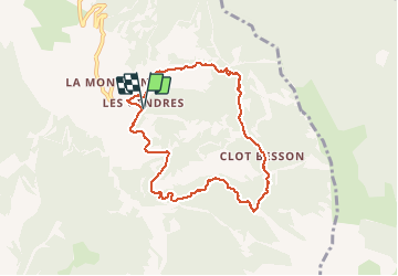

10,6 km | 21 km-effort

Benutzer


Kostenlosegpshiking-Anwendung
 SityTrail
IGN / Geografische Institute
SityTrail World
Die Welt öffnet sich für Sie
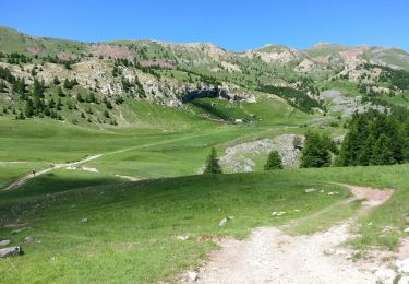
Tour Wandern von 8,1 km verfügbar auf Provence-Alpes-Côte d'Azur, Hochalpen, Crots. Diese Tour wird von guariso vorgeschlagen.
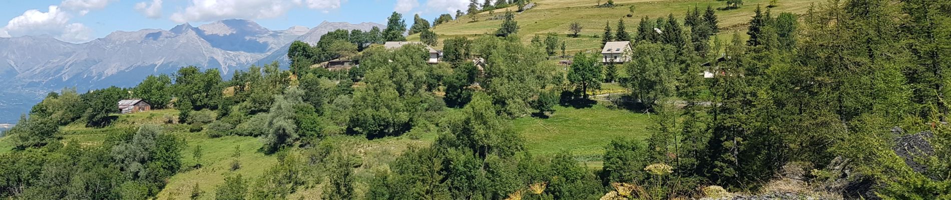
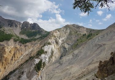
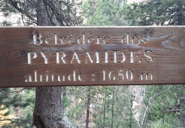
balade en sous bois rafraîchissante. Quelques montées raides au départ mais l'ensemble est accessible a toute la famille.
balade très sympa


Wandern

Wandern

Wandern

Wandern
Wandern
Wandern
Wandern

Wandern
Wandern