


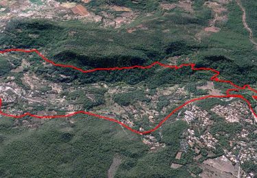
15,1 km | 20 km-effort


Benutzer


Kostenlosegpshiking-Anwendung
 SityTrail
IGN / Geografische Institute
SityTrail World
Die Welt öffnet sich für Sie
Tour Wandern von 12,7 km verfügbar auf Provence-Alpes-Côte d'Azur, Var, Salernes. Diese Tour wird von jean-marie.parachini vorgeschlagen.
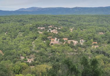
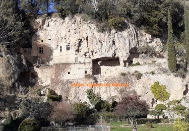
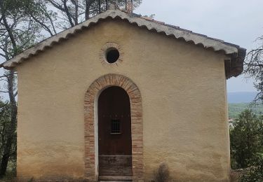
randonnée en forêt au-dessus de Salernes.


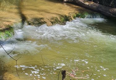
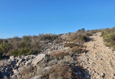
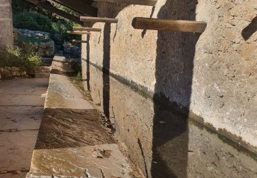
23 Fotos insgesamt. Klicken Sie auf ein Foto, um sie alle in der Galerie zu sehen.
Wandern
Wandern
Wandern
Wandern
Wandern
Wandern
Wandern

Andere Aktivitäten

Mountainbike