


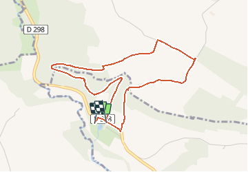

4,3 km | 5,8 km-effort


ensemble sur les chemins


Kostenlosegpshiking-Anwendung
 SityTrail
IGN / Geografische Institute
SityTrail World
Die Welt öffnet sich für Sie
Tour Zu Fuß von 4,3 km verfügbar auf Normandie, Calvados, Pontécoulant. Diese Tour wird von AACLARANDO vorgeschlagen.
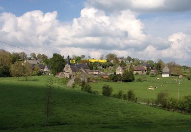
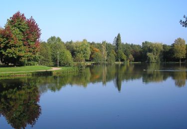
départ du chateau de Pontecoulant. Direction le point de vue, puis l'Aitre, le Bosq Hamon et retour le chareau.
Zu Fuß
Zu Fuß
Zu Fuß
Zu Fuß
Zu Fuß

Zu Fuß
Zu Fuß
Zu Fuß
Zu Fuß