


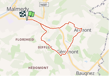

7,3 km | 10,1 km-effort


Benutzer


Kostenlosegpshiking-Anwendung
 SityTrail
IGN / Geografische Institute
SityTrail World
Die Welt öffnet sich für Sie
Tour Nordic Walking von 6,7 km verfügbar auf Wallonien, Lüttich, Malmedy. Diese Tour wird von denissculier vorgeschlagen.
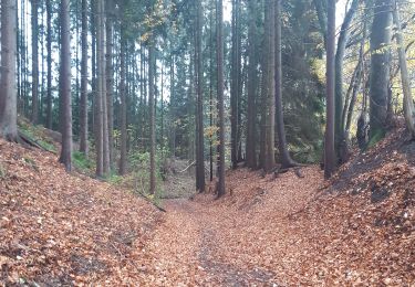
Depuis Malmedy via le Ravel, montée vers Géromont via Préaix, traversée du village d'Arimont et descente vers Malmedy par la vallée de la Warchenne (RAVeL).

Wandern

Wandern

Wandern

Wandern
Wandern

Wandern
Wandern
Wandern
Wandern