


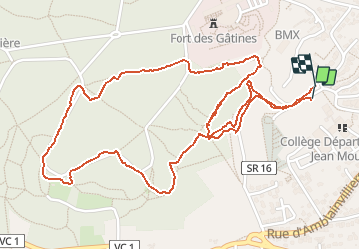

11,9 km | 14 km-effort

Benutzer


Kostenlosegpshiking-Anwendung
 SityTrail
IGN / Geografische Institute
SityTrail World
Die Welt öffnet sich für Sie
Tour Nordic Walking von 3,3 km verfügbar auf Île-de-France, Essonne, Verrières-le-Buisson. Diese Tour wird von patjobou vorgeschlagen.
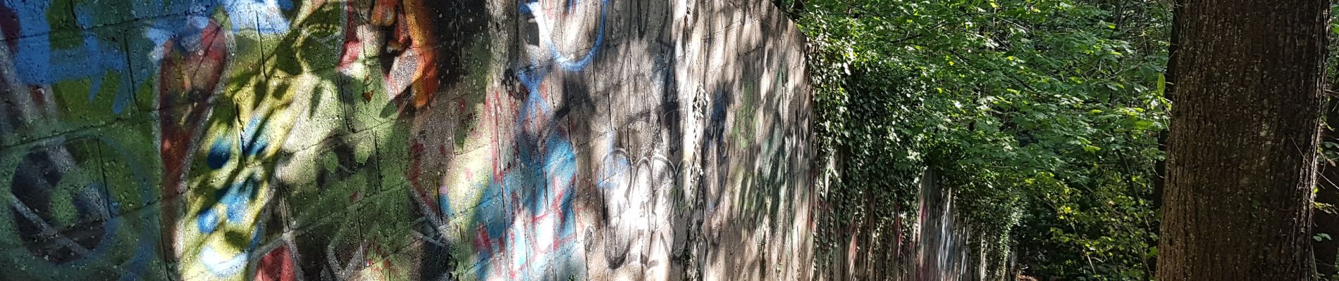
Exploration. Tout les chemins existent, il n'y a pas vraiment de point de vue. Le passage au sud du terrain militaire, le long d'un mur (photo), n'est pas top, en particulier avec des enfants.


Wandern

Wandern

Wandern

Wandern

Wandern

Wandern
Wandern

Wandern

Wandern